Peterson Ridge: Sisters Mountain Bike Tr4090
Twitter Search
#petersonridgetrail

Overall: 6
Aerobic: 4
Technical: 4
Steepness: 4
Flow: 7
Singletrack: 100%
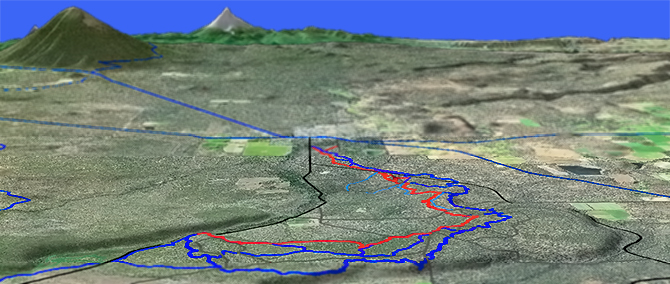
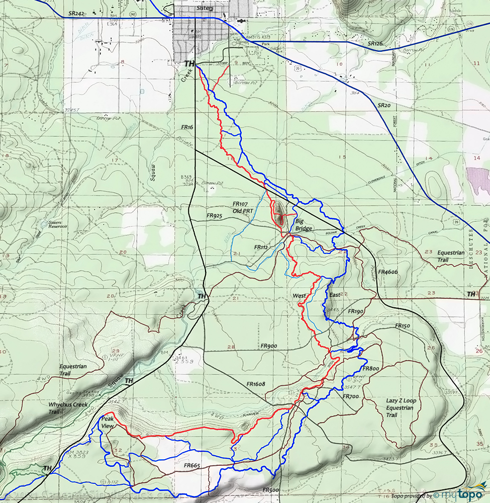
The Sisters Oregon Peterson Ridge Mountain Bike Trail is a trail system, managed by the Sisters Trails Alliance, which extends outward in interlocking loops from south of town.
Type
Loop
Length
Avg: 17mi
Ascent
Easy
Elevation Change
TH:3150'
Avg Ascent:1800'
Ascent Incline
2%
Duration
Avg: 3hr
Weather
Forecast
NOAA
popup
USFS

With plenty of terrain to explore, avoiding doubletrack in this area is easy enough to do and well worth the effort.
Although the terrain is too easy for this to be a destination ride, this is a favorite ride for those staying in the Sisters area, and worth checking out.
CW directions are given in the guide below, but the west side terrain is less technical, making a CCW loop somewhat easier.
This is a shared use trail system, with equestrians on the doubletrack and on some of the singletrack. SistersTrails has a nice area map which covers Peterson Ridge and other Sisters area trails.
Plenty of ways to bail out to FR16 and FR4606, if needed.
Rather than simply riding the loop, use the many connectors to create a serpentine ride.
Directions: From Sisters, go south on Elm St then turn left on Tyee, TH is on your right. View Larger Map. No Map?.


CW Loop Directions
looping
- TH: Bear to the left at the fork. Pass intersections #6 at.9mi; #8 at 1.1mi and #14 at 1.8mi, over relatively flat terrain, crossing several doubletracks and drainage ditches. Cross FR4606 at 2.7mi.
- 3mi: From the #16 (3mi) intersection, ascend a butte, passing #18 intersection at 3.6mi and cresting the butte at 4mi. Descend and cross a doubletrack, then ascend (crossing two additional doubletracks) to #20 intersection at 4.7mi, just prior to the Plainview ditch crossing.
- 4.8mi: Climbing steadily, cross two doubletracks before reaching the #22 intersection at 6mi, then cross two doubletracks before reaching the #26 intersection at 7.5mi. Cross FR665 at 8.7mi and reach the ride summit at the #33 intersection (9mi).
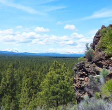
- 9.7mi: After a short but sharp descent, the Peak View point marks the mid-ride point. Climb alongside some doubletrack to the next summit at 10.1mi then descend to the #25 intersection at 11.3mi.
- 11.9mi: Pass the #29 intersection then cross FR1608 at a 4-way doubletrack intersection. Stay on the singletrack and reach the Peterson Ridge Viewpoint, just past the #21 intersection at 12.1mi. Cross the Plainview ditch then pass the #19 intersection at 12.8mi. Cross FR900 at 13.1mi as the trail levels off somewhat, then resume the descent, passing the #17 intersection at 14mi, then reaching the Squaw Creek #15 intersection just prior to the 'big' bridge (14.8mi).
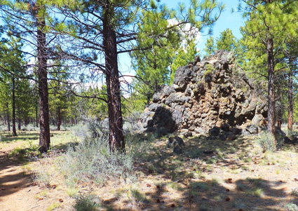
- 15.6mi: Pass the Eagle Rock intersection (maybe climb to the other side or loop around), cross FR4606, then pass the #11 intersection. Back to the flat portion of the ride, pass the #7 intersection at 16mi and the #5 intersection at 16.5mi, on the way back to the TH.
Trail Index
This Ride
Sisters Mountain Bike Trail 4090
Area
Bend Area
Bens Trail 50, COD Trail 71, Edison-Lava Trail 31, Elfin Magic Trail 45, Farewell Trail 26, Flagline Trail 41, Flagline Access Trail 40.1, Flagline Tie Trail 41.1, Funner, Grand Slam Trail 44, Kents Trail 43, KGB Trail 72, Mrazek Trail 32, MTB Trail 51, North Fork Trail 24.2, Phils Trail 42, Sector 16 Trail 27, Skyliners Trail 28, South Fork Trail 25, Sparks Lake Trail 4, Storm King Trail 48, Swampy Lake Trail 23, Swampy Loop Trail 23.2, Swampy-Dutchman Trail 40, Swede Ridge Trail 52, Tiddlywinks, Tumalo Creek Trail 25.1, Tumalo Ridge Trail 25.2, Voodoo Trail 46
Metolius-Windigo Tr99 Biking
Trail Rankings
Ranking consistently applied to all of the listed trails.
- Overall Rating: Ride quality and challenge
- Aerobic: Ascent challenge
- Technical Difficulty: Terrain challenge
- Steepness: Average incline
- Flow: Uninterrupted riding
- Elevation Change: Total elevation gain
- Ride Difficulty: Terrain challenge


