China Creek Tr1130

Overall: 4
Aerobic: 5
Technical: 5
Steepness: 5
Flow: 5
Singletrack: 100%
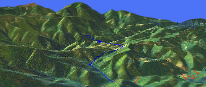
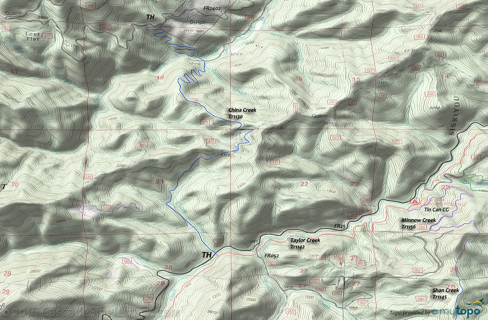
China Creek Tr1130 (a Taylor Creek Tr1142 spur) ascends the China Creek drainage, crosses Taylor Ridge, then descends to the South Fork of Galice Creek.
Type
OAB
Length
Avg: 5mi
Ascent
Moderate
Elevation Change
TH:1450'
Avg Ascent:1575'
Ascent Incline
9%
Duration
Avg: 1.5hr
Weather
Forecast
NOAA
popup
USFS
Note: this area has experienced many wildfires over the past decade. Please check trail conditions with the Forest Service, to ensure the trail has received maintenance in the current year.
Contact Rogue Valley MTB Assn if interested in helping with trail maintenance or for trail information.
The descent to Galice Creek consists of technically challenging steep switchbacks. The South Fork Galice Creek Bridge is out, requiring a wet crossing.
Directions: NW Forest Pass required right at the TH. I-5 Merlin exit 61 to Merlin Galice Rd, then go left on FR25 (Taylor Creek Rd) to the TH. View Larger Map. No Map?.

OAB Directions
over the ridge
- TH: Ascend alongside the creek, to the FR011 intersection and ride summit.
- 1.5mi: Cross FR011 at Taylor Ridge, followed by the 2200' ride summit.
- 2.2mi: Unless descending to Galice Creek, turn around and descend to the TH.
Trail Index
This Ride
China Creek Trail 1130
Area
Hiking
Big Pine Interpretive Loop Trail 1155, Burned Timber Interpretive Trail 1148
Campgrounds
Big Pine Campground, Sam Brown Campground, Tin Can Campground
Trail Rankings
Ranking consistently applied to all of the listed trails.
- Overall Rating: Ride quality and challenge
- Aerobic: Ascent challenge
- Technical Difficulty: Terrain challenge
- Steepness: Average incline
- Flow: Uninterrupted riding
- Elevation Change: Total elevation gain
- Ride Difficulty: Terrain challenge


