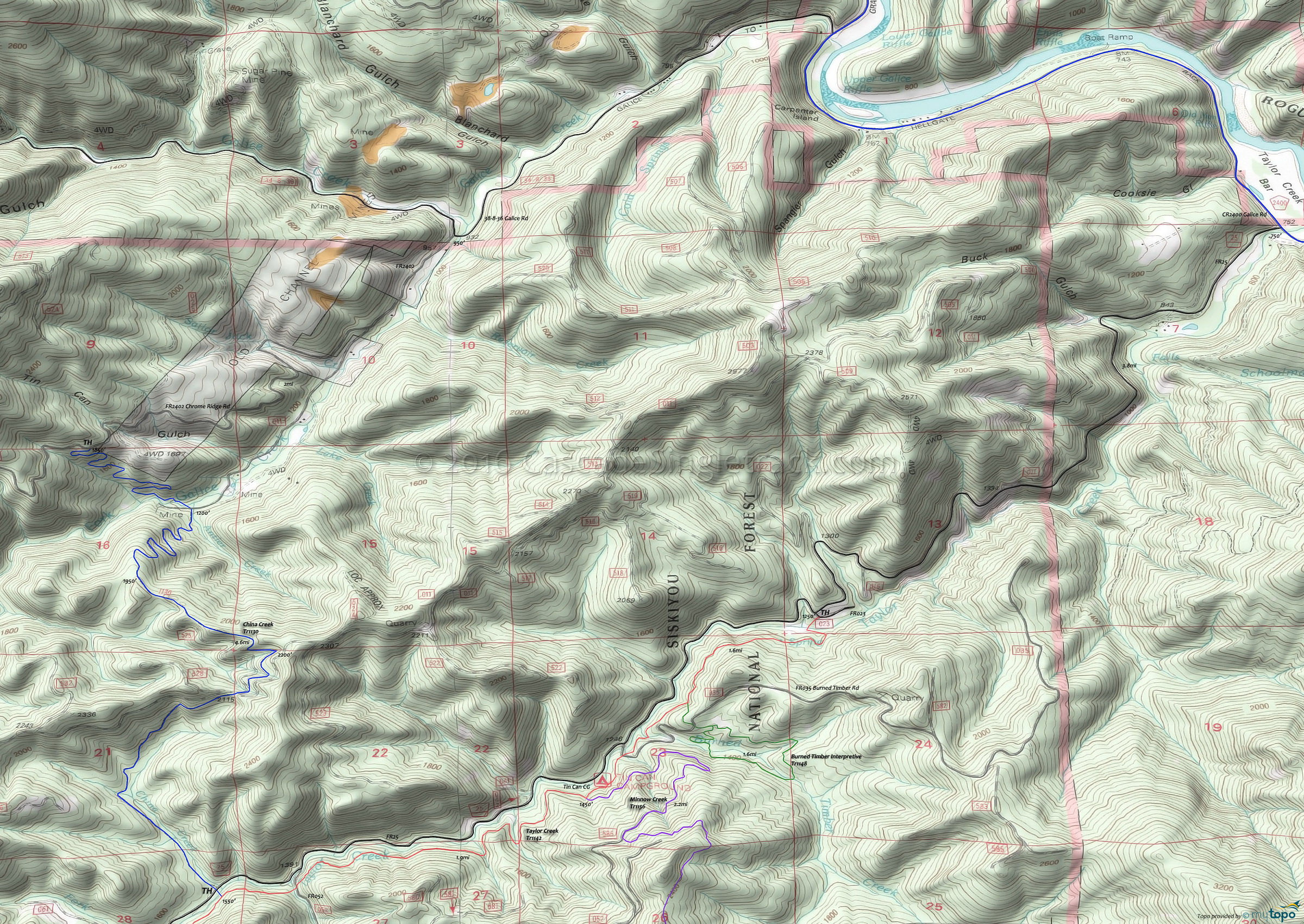
China Creek Tr1130 Mountain Biking and Hiking Topo Map
Map includes: China Creek Trail 1130 Mountain Bike and Hiking Trail.
TH: Ascend alongside the creek, to the FR011 intersection and ride summit.
1.5mi: Cross FR011 at Taylor Ridge, followed by the 2200' ride summit.
2.2mi: Unless descending to Galice Creek, turn around and descend to the TH.
Draggable map: Map window adjusts to screen size and will respond to touch control. Use scrollbar for mouse control.
No Map? Browser settings and some browser extensions can prevent the maps from appearing. Please see Site Tech


