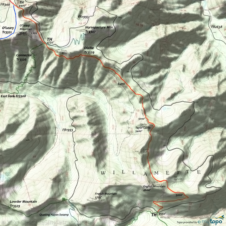
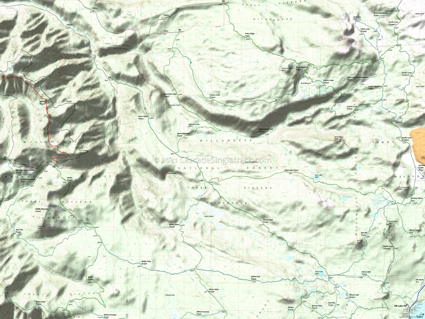
Olallie Tr3529
Twitter Search
#OlallieTrailOR
Overall: 7
Aerobic: 7
Technical: 7
Steepness: 6
Flow: 5
Singletrack: 100%
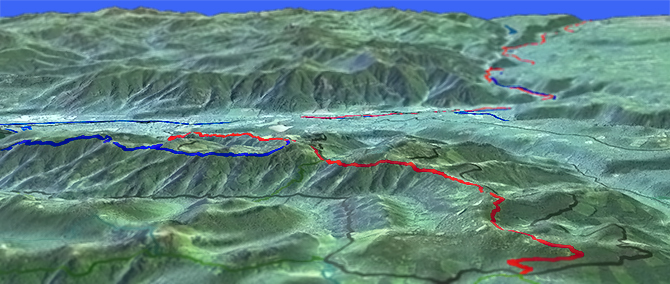
The Paradise Oregon Olallie Trail is a ridgeline ride which ascends the northern O Leary Mountain ridgeline, then continues on to Taylor Castle, Lamp Butte and English Mountain.
Type
OAB
Length
Avg: 20mi
Ascent
Intense
Elevation Change
TH:2600'
Avg Ascent:5600'
Ascent Incline
12%
Duration
Avg: 4hr
Weather
Forecast
NOAA
popup
USFS
Check forest service road conditions, as FR1993 access is affected by washouts and other damage and the upper TH may not be accessible by car.
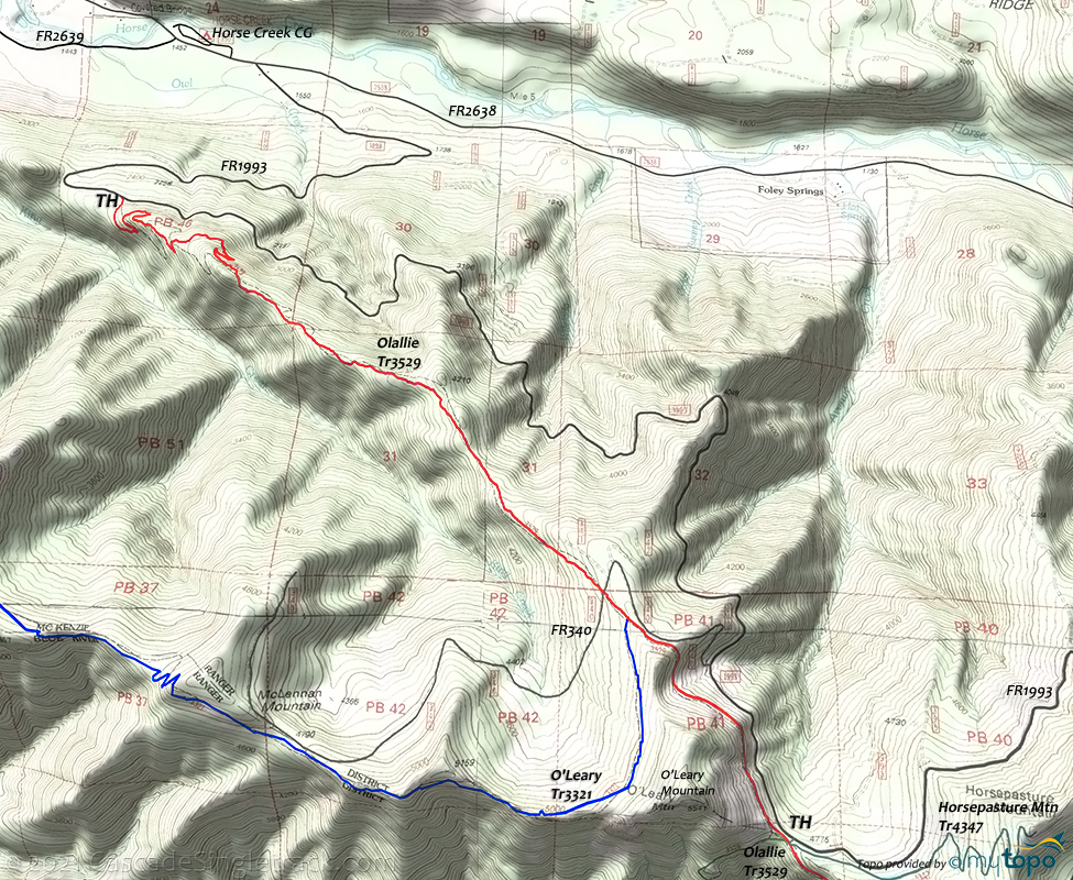
The typical 10mi (4700' ascent) CW loop is described as climbing FR1993 and returning on Olallie Tr3529, with a 7.5%, 5.7mi road climb and a 12%, 4.3mi descent.
That is only ~30% singletrack based on ride time, not enough to be listed as a destination ride.
Experienced, strong climbers can handle Olallie and so an OAB would be the better option, and is the ride featured on this page.
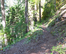
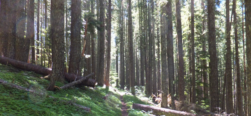
Ding: The trail surface is generally smooth, but is narrow and off-camber, with significant hillside exposure, making Olallie Tr3529 a technically challenging ride in either direction. The grade is generally less than 15% but the hillside is easily a 40% grade, resulting in landslides and treefall.
The ride can be extended up to 18.5mi (5600' ascent), or nearly to the end of the Olallie trail, then return.
Few trails are both Epic and OAB, but Olallie is one of them.
All of the trails to the east and south of FR1993 are in wilderness areas.
Olallie Ridgeline (14mi, 3700' ascent)
To ride just the Olallie ridgeline, park at the FR340 gate or the Horsepasture Meadows TH, then ride south to just past English Mountain. Note: this section of trail is not frequently maintained, and is subject to blowdown and overgrowth, so be sure to check with the McKenzie Bridge guard station on current conditions.
Directions: SR126 to Horse Cr. Rd. (in McKenzie Bridge). Go 2mi and turn right on FR1993, then go 3mi to the first of three trailheads which intersect with the Olallie trail. View Larger Map. No Map?.
OAB Directions
epic oab
- TH: Climb/Hike 3mi to the top of the ridge, or park at the upper FR1993 TH (near the O'Leary Mountain summit) and ride 17mi to the end of the ridge from there, then return.
- 7.4mi: After the FR1993 intersection, climb several hundred feet then descend, followed by a climb to Taylor Castle summit. The trail levels off while riding below the ridgeline past Lamb Butte and English Mountain, followed by a steep descent to FR1993. Turn around just prior to the steep FR1993 descent and return to the TH.
Three Sisters Wilderness Hiking
At the top of Horsepasture Mountain is an old lookout, with views of the Three Sisters, Mount Washington, Mount Jefferson and Bachelor Butte. Mount Hood and Diamond Peak can also be viewed on a clear day.
Bear Flat Tr3301 passes through the upper portion of the French Pete drainage and around Olallie Mountain, suitable for a day loop trip. Just after leaving the Olallie Trail hikers will pass through open grassy meadows. The trail is obscure so watch for markings and use a gps.
Cedar Swamp Tr3538 is maintained infrequently and may be hard to follow at times.
Horse Creek Tr3514 passes through a dense, old-growth Douglas-fir forest, transitioning to a hemlock forest around 3000'.
Nash Lake Tr3527 is popular for both hunting and fishing.
Separation Creek Tr3524, marked with a dashed line, may be permanently closed due to heavy tree blow down.
Trail Index
This Ride
Olallie Trail 3529
Area
Three Sisters Wilderness Hiking
Bear Flat Trail 3301, Cedar Swamp Trail 3538, Corral Draw Trail 3520, East Fork Trail 3308, East Fork-Ollalie Connector Trail 3326, Eileen Lake Trail 4348, Foley Ridge Trail 3511, Horse Creek Trail 3514, Horsepasture Mountain Trail 4347, Linton Meadows Trail 3547, Nash Lake Trail 3527, Olallie Mountain Trail 4100, Olallie Park Trail 3530, Pacific Crest Trail 2000-E, Red Hill Trail 3315, Separation Lake Trail 3536
Campgrounds
Horse Creek Campground, Limberlost Campground, McKenzie Bridge Campground, Paradise Campground
Trail Rankings
Ranking consistently applied to all of the listed trails.
- Overall Rating: Ride quality and challenge
- Aerobic: Ascent challenge
- Technical Difficulty: Terrain challenge
- Steepness: Average incline
- Flow: Uninterrupted riding
- Elevation Change: Total elevation gain
- Ride Difficulty: Terrain challenge


