Hood River Post Canyon Seven Streams Trails
Twitter Search
#PostCanyonTrails
Overall: 6
Aerobic: 5
Technical: 4
Steepness: 4
Flow: 8
Singletrack: 100%
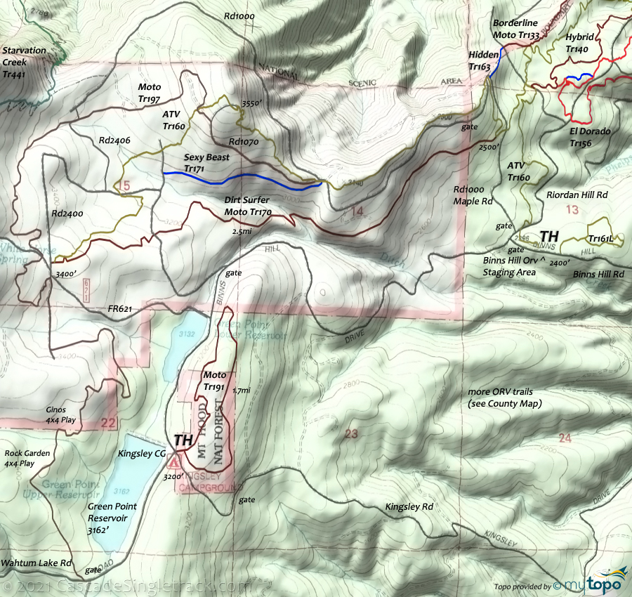
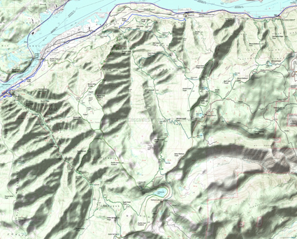
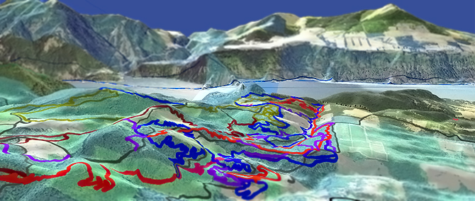
The Hood River Oregon Post Canyon - Seven Streams area has about 32mi of non-moto trails pointing in just about every direction possible, within two ridgelines. A great alternative to a rainy Portland afternoon.
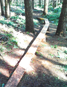
Hood River Area Trail Stewards HRATS have put a lot of effort into this trail system, and it shows in how well these trails have held up over the years. Consider helping to maintain and build the trail system...a great use of a day.
The area offers an ever-increasing variety of stunts, for various skill levels, with constant maintenance and innovation to keep it interesting.
Lots of freeride and trials ramps and teeters, but several hours of nice, twisty singletrack mixed in as well.
Several really nice hillside trails, some of which don't get much use, and all of the terrain is well suited for building intermediate-rider skills.
This non-destination, local trail system is worth checking out after some more substantial ride or when it's too wet or cold elsewhere.
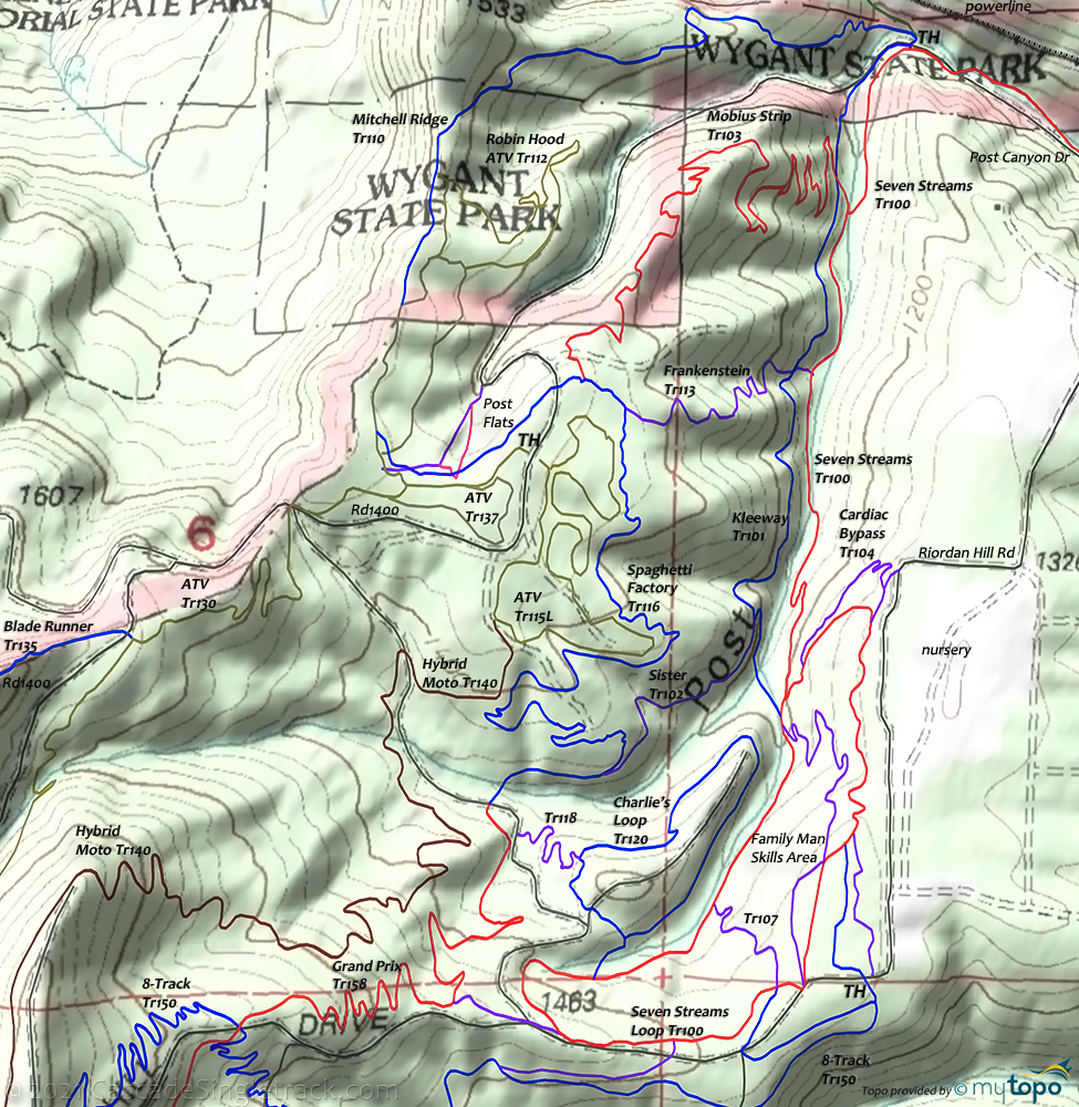
Note: As with most bike parks, the existence of trails and their names changes as needed by the condition of the terrain. Please only use the map and names as a general guide.
Hospital Hill is nearby, an active tree farm for Stevenson Land Company, so sometimes closed for logging.
The Green Point Reservoir is southwest of the Post Canyon - Seven Streams area, with extensive Orv trails near the Kingsley CG.
Directions: From Hood River, go west on Oak St until it merges with W. Cascade and continues to Country Club Rd. Take a left at Country Club Rd for about a mile and a half. Look for Post Canyon Rd and take a right. Drive until the road becomes gravel and park. View Larger Map. No Map?.
Loop Directions
spaghetti factory
- TH: Ride from the Post Canyon TH or the Seven Streams TH. With Mitchell Ridge along the upper terrain, CW loops work best.
- As an example of the area terrain, the profile map shows a 6.5mi Seven Streams Tr100 - Mitchell Ridge Tr110 lollipop loop, starting from the Post Canyon staging area.
- Depending on skill level and use of the many stunts, most riders would either repeat some version of the CW loop or use a shuttle to the Post Flats TH if freeriding.
Best Area Guide (paid link)
Columbia River Gorge National Scenic Area Hiking
Many campsites along Upper Eagle Creek Tr440, with a few campgrounds located inland, accessible from SR35 through Dee.
Plenty of loop options, with moderate ridgeline terrain once out of the gorge. Note the elevation changes if traversing across ridgelines, as some of the ridges are very steep.
Trail Index
This Ride
Baby GP Trail 105, Blade Runner Trail 135, Cardiac Bypass Trail 104, Charlie's Loop Trail 120, El Dorado Trail 156, Family Man Skills Trail 109, Frankenstein Trail 117, Grand Prix Trail 158, Hidden Trail 163, Hybrid Orv Trail 140, Kleeway Trail 101, Middle School Trail 108, Mitchell Ridge Trail 110, Mobius Strip Trail 103, Robin Hood Trail 112, Seven Streams Trail 100, Sister Trail 102, Sexy Beast Trail 171, Spaghetti Factory Trail 116, The Boot Trail 150L, 3 Blind Mice Trail 151, 8-Track Trail 150
Area
Sandy Ridge Trails
Columbia River Gorge National Scenic Area Hiking
Bear Lake Trail 413C, Benson Way Trail 405B, Casey Creek Trail 476, Chetwoot Trail, Eagle/Benson Trail 434, Eagle/Tanner Trail 433, Gorton Creek Trail 408, Green Point Trail 410, Green Point Ridge Trail 418, Gorge Trail 400, Herman Creek Trail 406, Mitchell Point Trail 417, Mt Defiance Trail 413, Nick Eaton Trail 447, Pacific Crest Trail 2000-G, Ruckel Creek Trail 405, Starvation Creek Trail 414, Upper Eagle Creek Trail 440, Wyeth Trail 411, Wygant Trail
Columbia Wilderness Campgrounds
Indian Springs Campground, Kingsley Campground, Rainy Lake Campground, Wahtum Lake Campground, Wyeth Campground, Wygant SP Campground
Trail Rankings
Ranking consistently applied to all of the listed trails.
- Overall Rating: Ride quality and challenge
- Aerobic: Ascent challenge
- Technical Difficulty: Terrain challenge
- Steepness: Average incline
- Flow: Uninterrupted riding
- Elevation Change: Total elevation gain
- Ride Difficulty: Terrain challenge

