Oak Ridge Tr688A
Twitter Search
#oakridgetrail

Overall: 5
Aerobic: 6
Technical: 6
Steepness: 6
Flow: 6
Singletrack: 70%
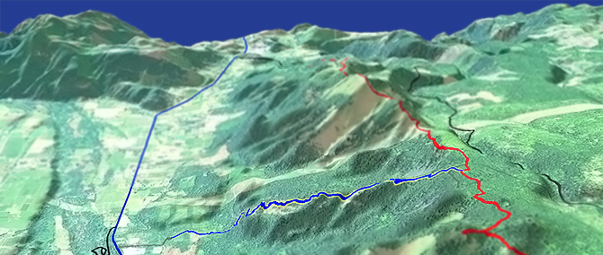
The Mount Hood Oregon Oak Ridge Trail is a steep switchback trail, normally only ridden as part of the Surveyors Rdg Tr688 loop. An alternate loop is described below.
Type
Loop
Length
Avg: 14mi
Ascent
Intense
Elevation Change
TH:1950'
Avg Ascent:2900'
Ascent Incline
7%
Duration
Avg: 2.5hr
Weather
Forecast
NOAA
popup
USFS

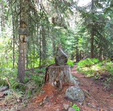
The 2.2mi Oak Ridge Tr688A (~1850') descent contains switchbacks with large loose rocks, erosion and banking, and is not suitable for climbing.
A hike-a-bike to the top, then downhill is certainly an option, but the described CW loop is not much tougher than hiking and includes a Bald Butte climb on Surveyors Ridge Tr688 so adds some variety.
Using FR17 to shuttle to the upper Oak Ridge Tr688A TH is another option, for those seeking some fast vertical descent.
Dog Rvr Tr675 provides a longer descent and easier shuttle.
Directions: Take Smullin rd, which is on the left 1.4mi past the Mt Hood Country Store and just before the Hwy Dept facility. Road to Oak Rdg TH is at the first curve. View Larger Map. No Map?.

Loop Directions
feel the burn
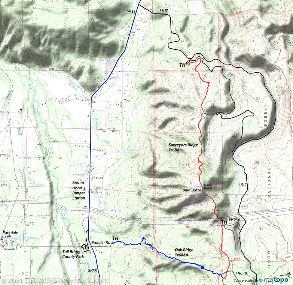
- TH: From the Oak Ridge TH, go .9mi to SR35 then go right and ride 4.3mi to FR17.
- 5.2mi: Go right onto FR17 (Pine Mont Dr) and climb 1.8mi to the Surveyors Ridge Tr688 TH.
- 7mi: Climb singletrack then doubletrack to Bald Butte, passing an FR connector to FR17 at 8.5mi.
- 9.9mi: Reach the Bald Butte summit, descend to the power lines and cross FR630 at 10.7mi, then climb to the upper Oak Ridge Tr688A TH.
- 11.6mi: Cross FR640 then go right onto Oak Ridge Tr688A for the 2.2mi bombing run. Watch for loose surfaces and big rocks, over the unrelenting, switchback downhill.
Trail Index
This Ride
Oak Ridge Trail 688A, Surveyors Ridge Trail 688
Area
Mount Hood Wilderness Hiking
Campgrounds
Bottle Prairie Campground, Eightmile Crossing Campground, Fifteenmile Campground, Knebal Springs Campground, Pebble Ford Campground, Sherwood Campground
Trail Rankings
Ranking consistently applied to all of the listed trails.
- Overall Rating: Ride quality and challenge
- Aerobic: Ascent challenge
- Technical Difficulty: Terrain challenge
- Steepness: Average incline
- Flow: Uninterrupted riding
- Elevation Change: Total elevation gain
- Ride Difficulty: Terrain challenge


