Lewis River Tr31
Twitter Search
#lewisrivertrail
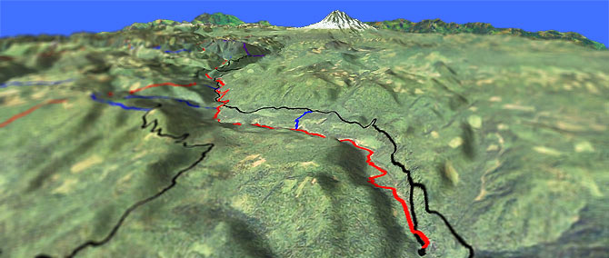
Overall: 10
Aerobic: 6
Technical: 6
Steepness: 6
Flow: 10
Singletrack: 100%
Lewis River Tr31 and Quartz Cr Tr5 combine to offer some of the best riverside trail ride variety in the Cascades, on par with the McKenzie River Trail, Mad River Trail or the Umpqua River Trail.
Type
OAB
Length
Avg: 28mi
Ascent
Moderate
Elevation Change
TH:1200'
Avg Ascent:4400'
Ascent Incline
10%
Duration
Avg: 5hr
Weather
Forecast
NOAA
popup
USFS
Trail
Review
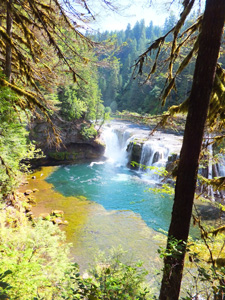
In typical riverside trail fashion, the ride becomes more challenging as it progresses upstream, with upper Quartz Cr Tr5 proving unrideable/dangerous for many people.
Lewis River Tr31 offers some brief examples of steep hillside terrain but is merely challenging and not usually life threatening.
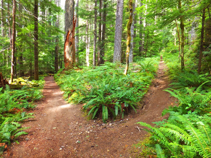
The lower section practically defines the meaning of flow, with fast, twisty, mossy trail that goes on and on.
Since FR90 parallels Lewis River Tr31 and provides access at both ends of the trail, the ride could be done as a shuttle.
The terrain is flat enough and offers enough variety to justify riding OAB.
FR90 crosses Lewis River Tr31 at 9.7mi and 14mi (upper TH).
Those seeking a more aggressive ride might consider starting at the 9.7mi TH or the Lower Falls Recreation Area, and riding Lewis River Tr31 and then Quartz Cr Tr5 to the Snagtooth Tr4 intersection.
A CCW lollipop loop can be created by adding Wright Meadow Tr80, Bluff Tr24 and Cussed Hollow Tr19. This increases the climbing without significantly increasing the distance.
If camping in the area or looking for more local terrain, check out Spencer Butte Tr30 and Wildcat Tr25, accessible from the Spencer Butte or Cussed Hollow TH on FR93.
Popular with day-hikers, expect to share the first few miles of trail with families and their pets.
The upper trailhead ends at the Lewis River Horse Camp, so expect to see the occasional horse wandering by on the trail.
Be sure to give the horses plenty of room (get completely off the trail) and speak gently as they are passing, especially if on steep hillside terrain where they might be easily spooked.
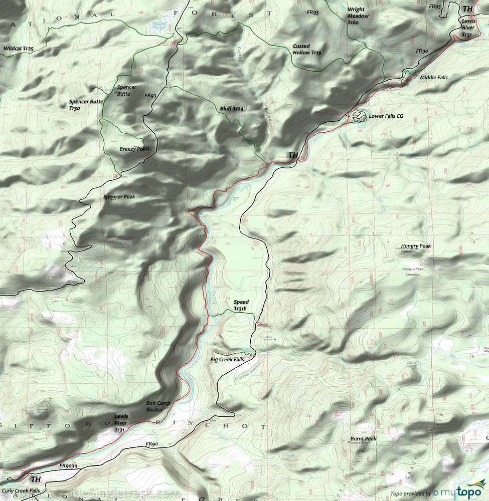
Directions: NW Forest Pass required right at the TH. See Map. See the Topo Map for the other trailheads. View Larger Map. No Map?.
OAB Directions
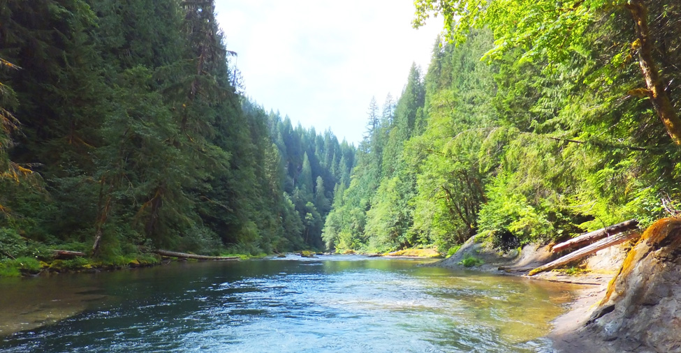
many shades of green
- TH: From the FR9039 parking area, ride across the bridge and join the trail on the right side of the road.
- 5.4mi: Having passed the Bolt Camp Shelter and the fastest section of the trail, go past the intersection with Speed Tr31E (which accesses FR90 but requires fording the river and may not be well maintained due to lack of use). Terrain becomes more intense, with short hillside climbs and detours due to washouts.
- 7.8mi: The end of the steepest climbing, culminating in a 1mi section that most will have to hike.
- 9.2mi: Some fast riding through dense forest to the Bluff Tr24 TH, then cross FR90 at 9.7mi. Pass the Lower Falls Recreation Area at 10.9mi.
- 12mi: After some climbing, reach the Wright Meadows Tr80/Cussed Hollow Tr19 TH and some local Middle Falls trails, then resume climbing to the upper TH, at FR90. Turn around and head back, or continue on to Quartz Creek Tr5.
Trail Index
This Ride
Lewis River Trail 31
Area
124 Trail, Falls Creek Trail 152, Lava Butte Trail 200, McClellan Meadows Trail 157, Oldman Pass Trail 154, Paradise Trail 153, Quartz Cr Tr5, Snofoot Trail 150, Speed Trail 31E, Terminator Trail 159, Valley Ski Trail 151
Hiking
Bluff Trail 24, Cussed Hollow Trail 19, Spencer Butte Trail 30, Wildcat Trail 25, Wright Meadow Trail 80
Campgrounds
Lewis River Campground, Lewis River Horse Camp, Lower Falls Campground
Trail Rankings
Ranking consistently applied to all of the listed trails.
- Overall Rating: Ride quality and challenge
- Aerobic: Ascent challenge
- Technical Difficulty: Terrain challenge
- Steepness: Average incline
- Flow: Uninterrupted riding
- Elevation Change: Total elevation gain
- Ride Difficulty: Terrain challenge


