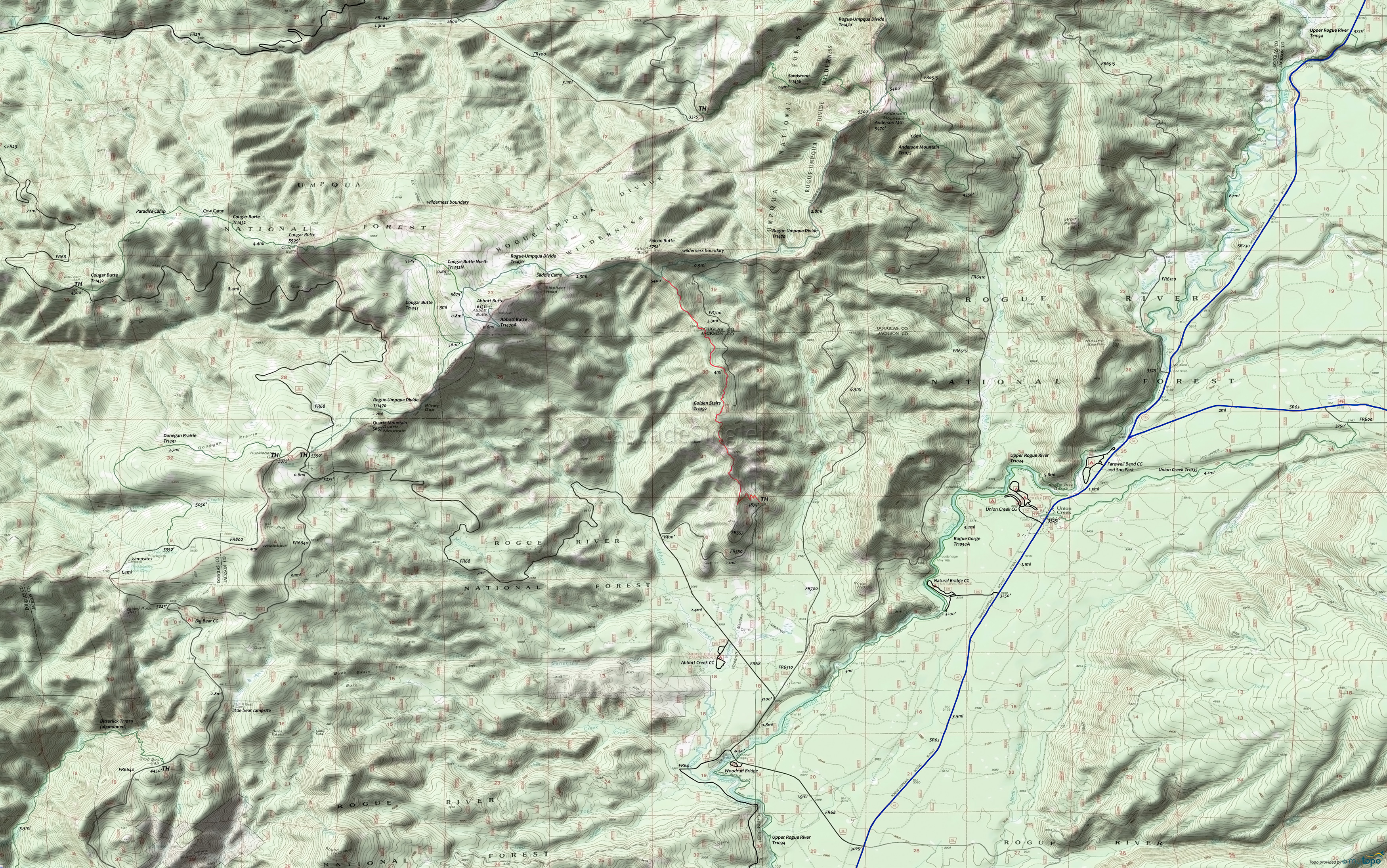
Golden Stairs Trail 1092 Mountain Biking and Hiking Topo Map
Map includes: Abbott Butte Trail 1470A, Anderson Mountain Trail 1075, Cougar Butte Trail 1432, Cougar Butte North Trail 1432N, Donegan Prairie Trail 1431, Rogue Gorge Trail 1034A, Rogue-Umpqua Divide Trail 1470, Sandstone Trail 1436, Union Creek Trail 1035, Upper Rogue River Trail 1034 Hiking Trails.
TH: Rocky climb to the top of the ridge.
2mi: Ridge top riding.
3mi: Final ascent, through forested area.
4mi: Upper TH and intersection with Rogue-Umpqua Divide Tr1470. If continuing then go right to Hersberger Mt.
Draggable map: Map window adjusts to screen size and will respond to touch control. Use scrollbar for mouse control.
No Map? Browser settings and some browser extensions can prevent the maps from appearing. Please see Site Tech


