Twitter Search
#OregonTimberTrail
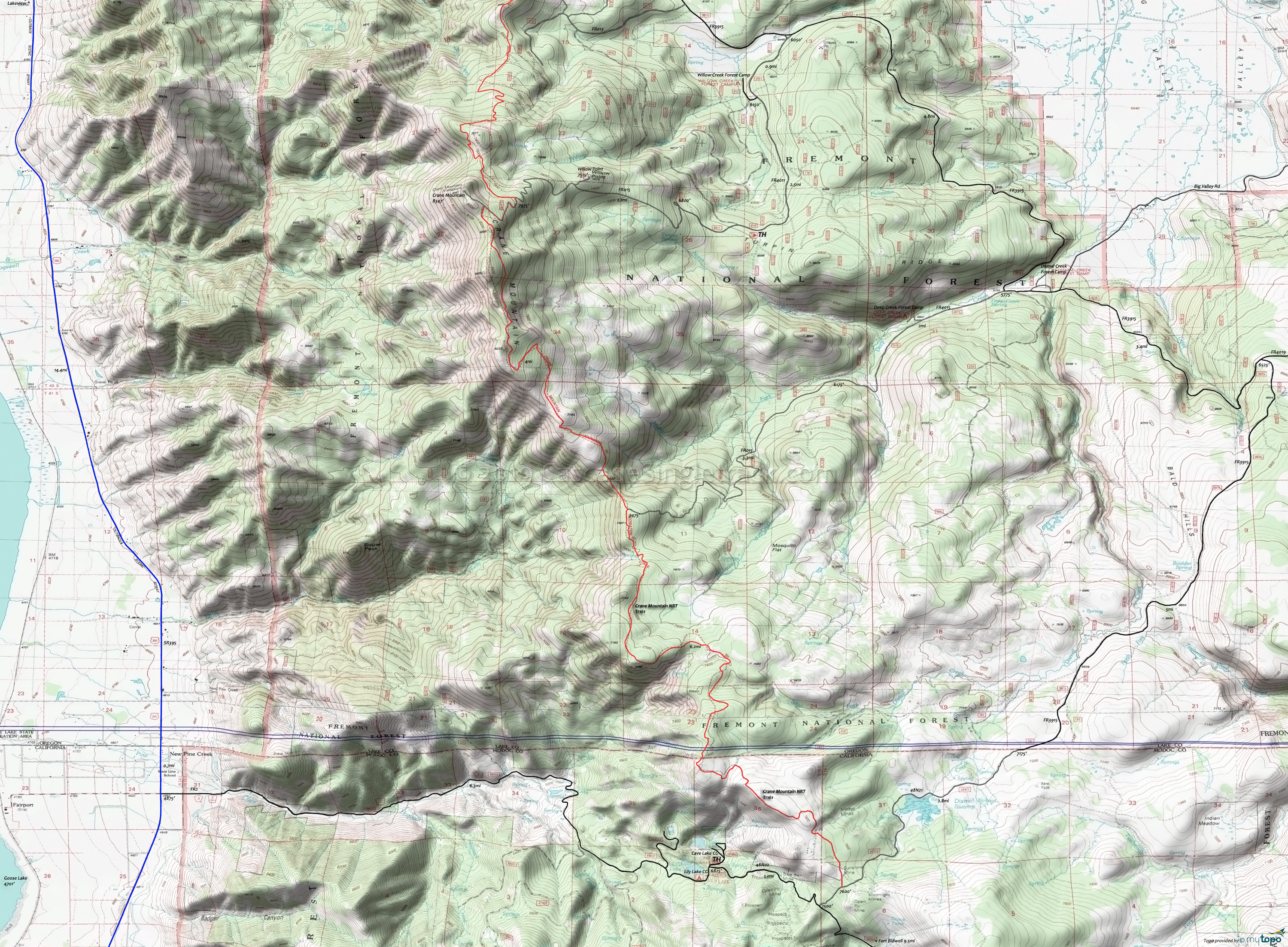
Crane Mountain NRT Mountain Biking and Hiking Topo Map
Oregon Timber Trail: The Fremont National Recreational Trail is part of the Fremont Tier route.
This map covers the less-frequented southern section, which terminates near Cave Lake. Due to light use, some pathfinding may be needed, so be sure to pack accordingly (thermal blanket, water, food).
Mosquitoes are ferocious in this area until August. Feel free to try the natural repellents, and avoid drinking carbonated drinks prior to riding, but Deet 100 may be the only protection from 'the swarm'. Expect some trailside poison oak and prepare as needed. Try using Tecnu before the ride.
Draggable map: Map window adjusts to screen size and will respond to touch control. Use scrollbar for mouse control.
No Map? Browser settings and some browser extensions can prevent the maps from appearing. Please see Site Tech


