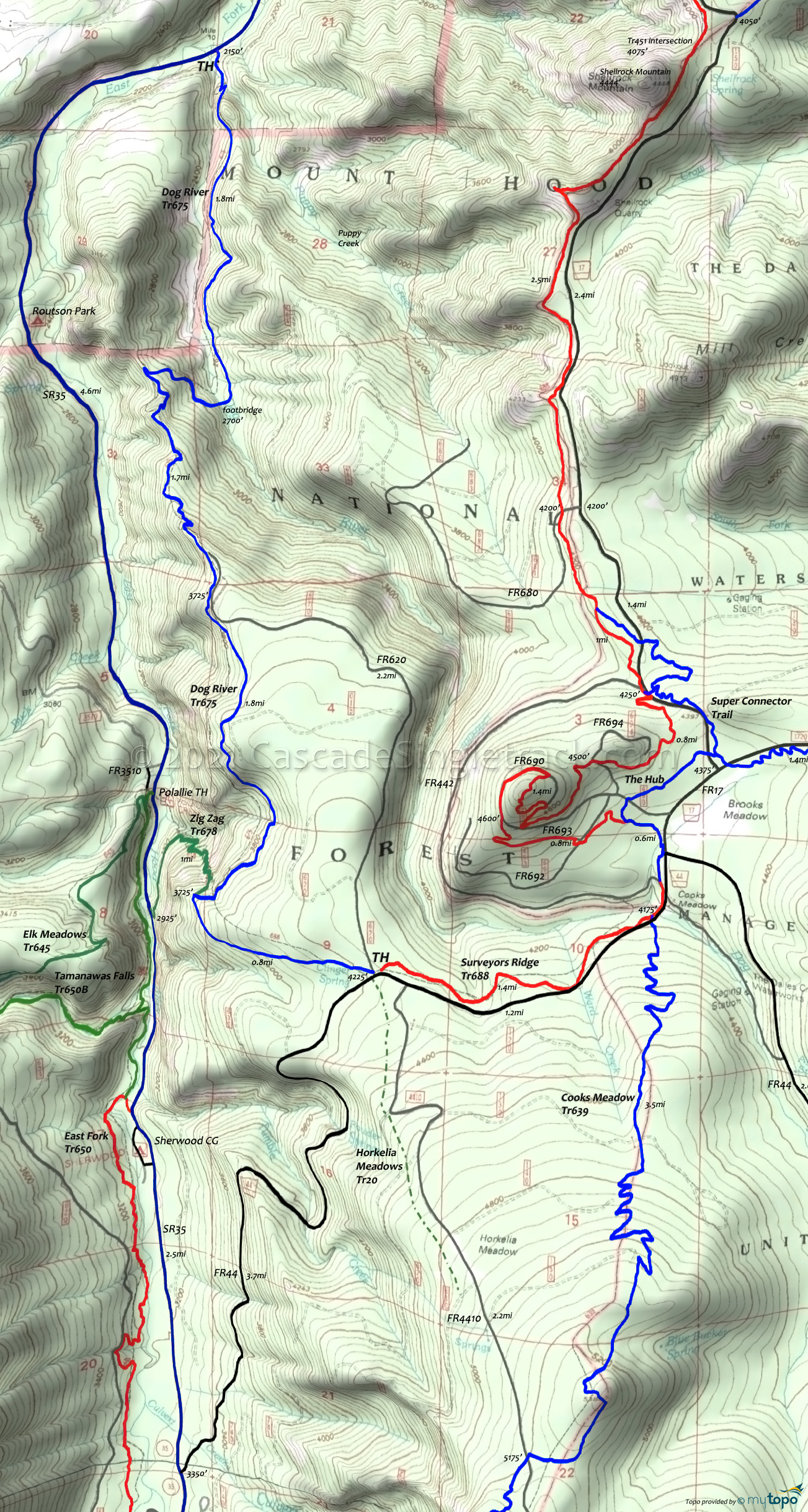
Dog River Trail Area Mountain Biking and Hiking Topo Map
Dog River OAB
The following describes the descent. On the ascent, after crossing Puppy Creek, there is a challenging ridgeline ascent section which may require some hike-a-bike.
Surveyors Ridge FR44 TH: The first mile includes some water bars/speed bumps, depending on FS maintenance.
2.2mi: trail briefly merges with FR620, then switchbacks to the left. Trail becomes steep and technical, with some cliff exposure.
4.1mi: Cross Dog River, climb, descend, then cross Puppy Creek.
Draggable map: Map window adjusts to screen size and will respond to touch control. Use scrollbar for mouse control.
No Map? Browser settings and some browser extensions can prevent the maps from appearing. Please see Site Tech


