Mitchell Peak Trail

Overall: 6
Aerobic: 6
Technical: 5
Steepness: 6
Flow: 6
Singletrack: 100%
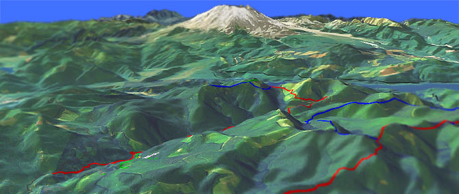
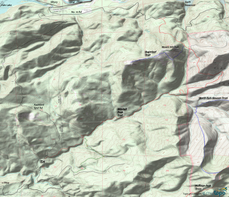
Near Siouxon Tr130, the Mitchell Peak Trail climbs the North Siouxon Creek drainage to Mount Mitchell.
Type
OAB
Length
Avg: 19.6mi
Ascent
Moderate
Elevation Change
TH:1100'
Avg Ascent:5600'
Ascent Incline
8%
Duration
Avg: 4hr
Weather
Forecast
NOAA
popup
USFS
The trail is not on forest land, so maintenance may be an issue but this is a good additional trail to try out, after riding Siouxon Tr130.
Warning: ride includes 6 stream crossings each way, making this a dry weather, high summer trail.
Runoff could be dangerous in the Spring.
The northern TH can be accessed by the No. 10 Rd, which runs along the Swift Reservoir to Northwoods.
From the northern TH, Mitchell Pk climbs 1100' in 1.3mi, and would result in an inverted ride profile, so it is best to start from the southern TH.
Directions: At the Woodland I-5 exit, take E. CC St to N.W. Hayes Rd (Co. Rd. 16) to N.E. Cedar Cr., and go 19mi through Amboy to Chelatchie. In Chelatchie go past the ranger station, then go right on N.E. Healy Road and continue for 5.2mi. Go left at the fork, onto Rashford Spur Rd. and go 7.7mi to TH. View Larger Map. No Map?.

OAB Directions
you might get wet
- TH: Descend to North Siouxon Creek and ride upstream. Traverse drainages and cross streams at 1.3mi, 2.7mi, 3.6mi, 4.2mi and 4.4mi.
- 4.6mi: Break away from North Siouxon Creek and climb 3.8mi to Sugarloaf Trail, crossing stream at 6.4mi.
- 8.1mi: Go left onto Sugarloaf Trail and cross the peak of Mount Mitchell, then turn around and head back to TH.
Trail Index
This Ride
Mitchell Peak Trail, Sugarloaf Trail
Area
Campgrounds
Cougar Campground
Trail Rankings
Ranking consistently applied to all of the listed trails.
- Overall Rating: Ride quality and challenge
- Aerobic: Ascent challenge
- Technical Difficulty: Terrain challenge
- Steepness: Average incline
- Flow: Uninterrupted riding
- Elevation Change: Total elevation gain
- Ride Difficulty: Terrain challenge


