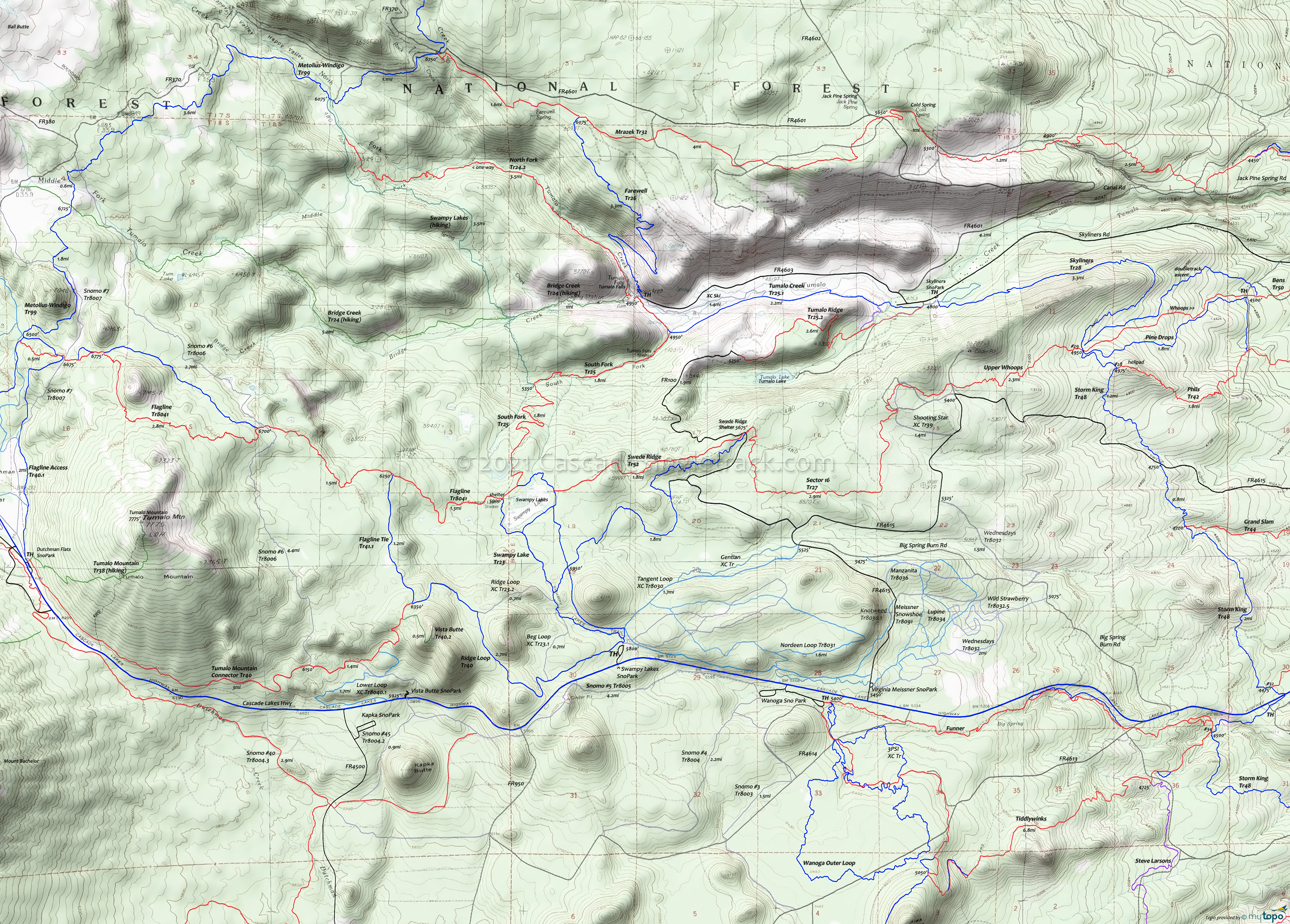
Swampy Lakes Area Mountain Biking and Hiking Topo Map
Map includes: Flagline Access Trail 40.1, Flagline Trail 41, Flagline Tie Trail 41.1, Metolius-Windigo Trail 99, North Fork Trail 24.2, South Fork Trail 25, Swampy Lake Trail 23, Swampy Loop Trail 23.2 and Swede Ridge Trail 52 Mountain Biking and Hiking Trails.
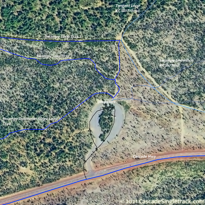
TH: From the end of the Swampy Lakes Sno-Park TH
View of Swampy Lakes Sno-Park TH parking circle, go on the left (western) trail, then bear left to remain on Swampy-Dutchman Tr40 and ascend to the ride summit, at the Flagline Tie Tr41.1 intersection.
2.7mi: Go right onto Flagline Tie Tr41.1 and ride across the ridge to Flagline Tr41 at 3.8mi. Go right and ride to the Swampy Lakes Shelter intersection.
5.1mi: Go left, to the Swampy Shelter / Shack / Woodshed, then go right onto Swampy Loop Tr23.2 and ride around the northern side of the swamp to Swede Ridge Tr52.
5.8mi: Go left onto Swede Ridge Tr52 and descend the ridgeline to the Swede Ridge Shelter.
7.7mi: The singletrack ends at FR100, near the Swede Ridge shelter. Go right onto FR100, around the curve, to the 8.4mi fork. Bear right and continue to the Swede Ridge Loop Tr8026 intersection on the left, just prior to the end of the doubletrack. Pass a doubletrack on the left at 8.8mi.
10.3mi: At the clearing, at the 4 way intersection either go left onto Swampy Loop Tr23.2 and ride back to the TH, or continue on to Swampy Lake Tr23 and head back to the TH.
Draggable map: Map window adjusts to screen size and will respond to touch control. Use scrollbar for mouse control.
No Map? Browser settings and some browser extensions can prevent the maps from appearing. Please see Site Tech


