High Cascade Loop: Edison-Lava and Metolius-Windigo Area Mountain Biking and Hiking Topo Map
Twitter Search
#HighCascades100
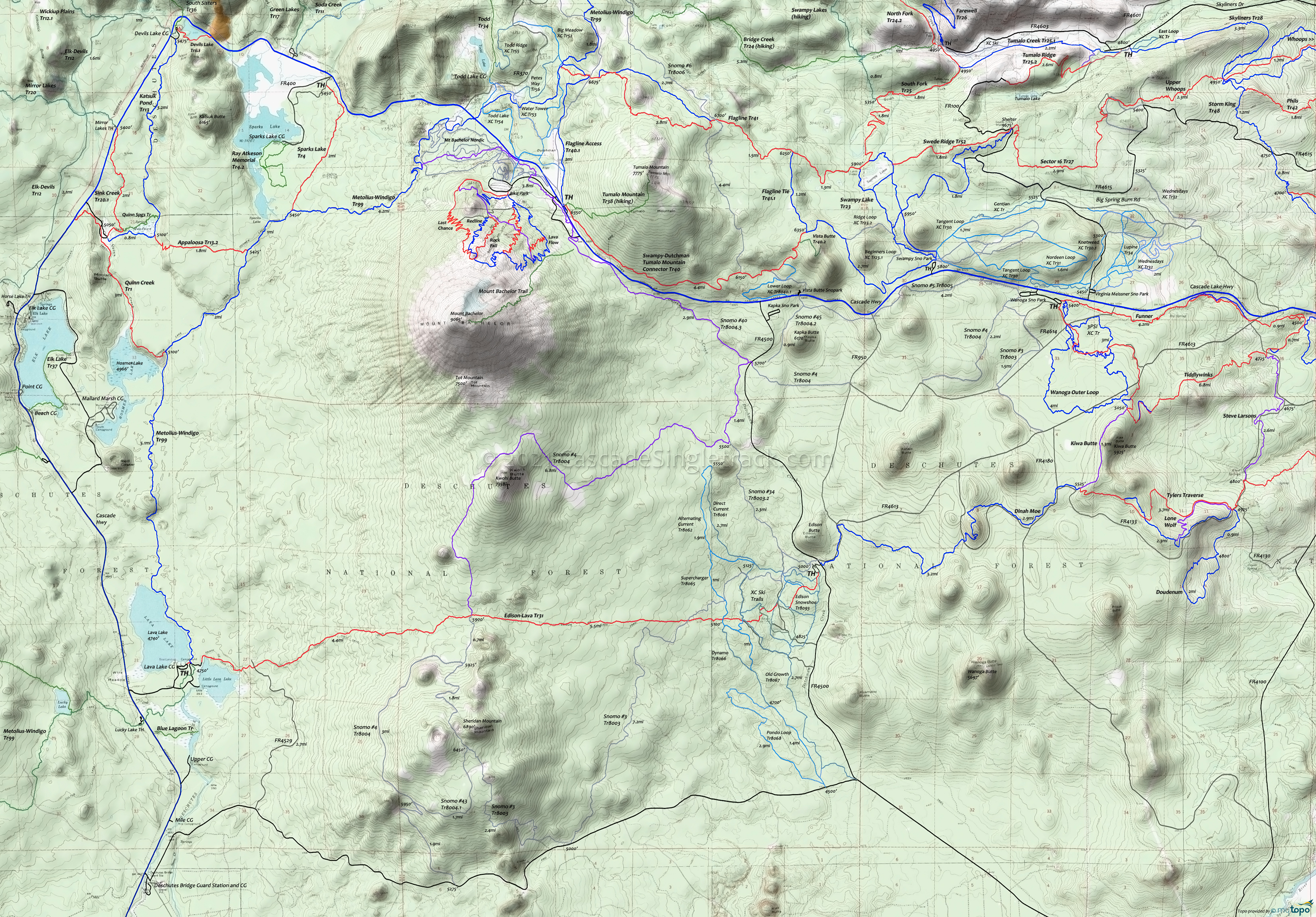
Map includes Appaloosa Trail 13.2, Edison-Lava Trail 31, Flagline Trail 41, Katsuk Pond Trail 13, Metolius-Windigo Trail 99, Quinn Creek Trail 1, Snowmobile #4, Snowmobile #40, Sparks Lake Trail 4, Swampy-Dutchman Trail 40 Mountain Biking and Hiking Trails.
TH: From the Lava Lake CG
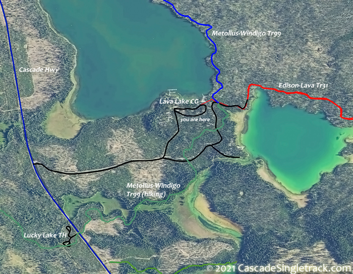
View of the Lava Lake Campground TH parking area, right the doubletrack to the north side of Little Lava Lake, through the Metolius-Windigo Tr99 intersection and around the north side of the lake. Cross several doubletracks and begin the Sheridan Mountain ascent.
4.6mi: Go left onto Snowmobile #4 Tr8004 and ascend to the north flank of Kwolh Butte, reaching the ride summit at 7.2mi then descending to the Snowmobile #40 Tr8004.3 intersection at FR45.
12.7mi: At FR45, go left on Snowmobile #40 Tr8004.3 and ascend Dutchman Creek alongside Century Hwy, cresting at 15.6mi then passing the Dutchman Flat TH
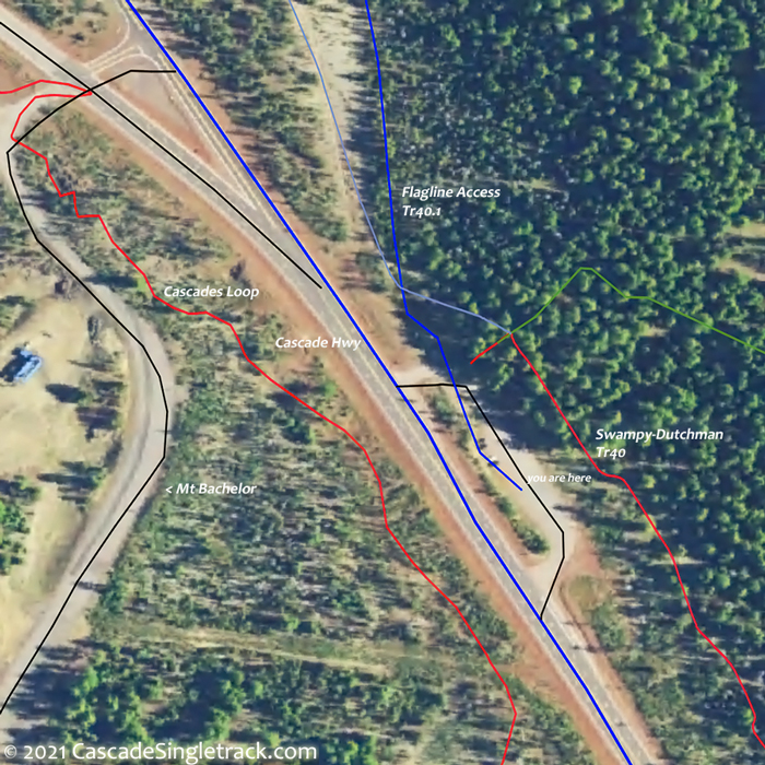
View of the Mount Bachelor Dutchman Flat TH at 16.5mi. Some pathfinding may be needed to get through the maze of XC Ski trails on the NW side of Mt Bachelor, over to the Metolius-Windigo Tr99 intersection.
19.3mi: Go left on Metolius-Windigo Tr99 and descend the western flank of Mt Bachelor, passing the Sparks Lake Tr4 intersection on the right at 22mi, then passing Sparks Lake. Pass the Appaloosa Tr13.2 intersection on the right at 22.9mi and the Quinn Creek Tr1 intersection on the right at 24.9mi, then ride by Hosmer Lake and Red Crater before the final descent to the east side of Lava Lake and back to the TH.
Draggable map: Map window adjusts to screen size and will respond to touch control. Use scrollbar for mouse control.
No Map? Browser settings and some browser extensions can prevent the maps from appearing. Please see Site Tech


