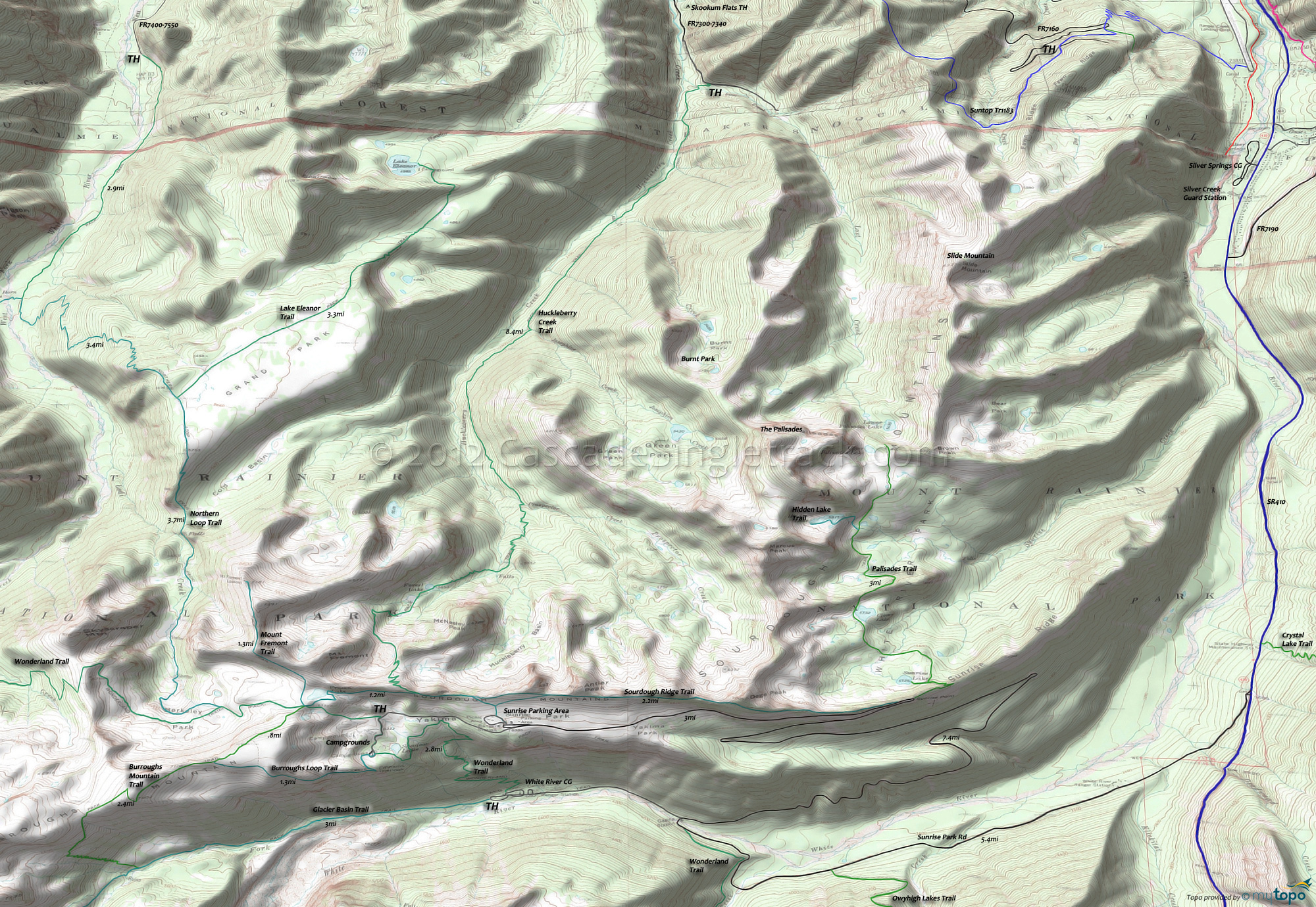
Mount Rainier Wonderland Trail Area Hiking Topo Map
Wonderland Trail is 93mi and circumnavigates Mount Rainier, crossing varied terrain, from lowland forests to high alpine. The northwestern section of Wonderland Trail is covered on the Christoff Tr1171 page, along with Frog Mountain Tr1180 and nearby Clearwater Wilderness trails.
For much more information, check out the Mount Rainier National Park Trail guide, which includes descriptions of all trails and a variety of maps.
Map includes: Burroughs Mountain Trail, Glacier Basin Trail, Huckleberry Creek Trail, Lake Eleanor Trail, Mount Fremont Trail, Palisades Trail, Sourdough Ridge Trail and Wonderland Hiking Trails.
Mount Rainier Hiking: The northeastern section of Mount Rainier is easily accessible from FR7300, with the main eastside entrance at Sunrise Park (From Skookum Flats TH, 12.5mi on SR410 and 16mi on Sunrise Park Rd).
FR7300 leads to FR7340, to the Huckleberry Creek TH and a 8.4mi hike along the creek, to the McNeeley Peak-Mt Fremont saddle. With another vehicle, a shuttle to FR7550 would be a 20mi (5700' ascent) hike.
Glacier Basin is a progressively intense hike, leading to the Emmons Moraine Glacier climbing route (and the Liberty Ridge route) at Glacier Basin, passing through a wetland area to the base of the Inter Glacier. Camp Schurman and other sites are used by climbers on their way to Emmons Glacier, the largest glacier in the continental U.S.
Draggable map: Map window adjusts to screen size and will respond to touch control. Use scrollbar for mouse control.
No Map? Browser settings and some browser extensions can prevent the maps from appearing. Please see Site Tech


