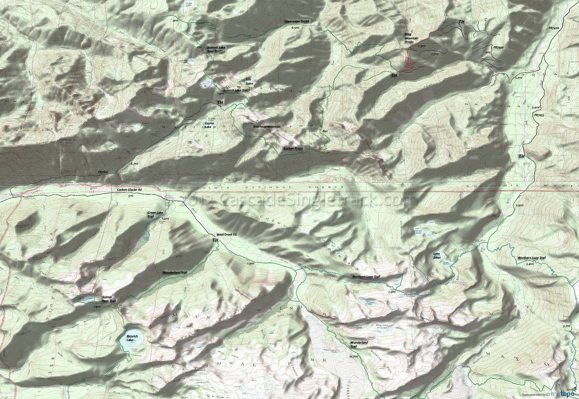
Carbon Trail 1179, Clearwater Trail 1178 and Frog Mountain Trail 1180 Area Hiking Topo Map
Map includes: Clearwater Wilderness Bearhead Trail 1179.1, Carbon Trail 1179, Clearwater Trail 1178, Frog Mountain Trail 1180, Summit Lake Trail 1177 Hiking Trails.
Frog Mountain Tr1180 is open to biking but at 2.3mi, is far too short to be of use. Carbon Tr1179, Summit Lake Tr1177 and Clearwater Tr1178 used to be open to bikes and were a popular loop, but now these Clearwater Wilderness trails are only available to hiking.
FR7810 provides access to the northern Mount Rainier entrance, with a ranger station near the Ipsut Creek CG. FR7550 leads to a Northern Loop spur, alongside the West Fork White River.
Expect heavy hiker traffic on all the trails nearest the Carbon Glacier road. Venture to the east side of Mount Rainier for more secluded hiking.
Wonderland Trail is 93mi and circumnavigates Mount Rainier, crossing varied terrain, from lowland forests to high alpine.
For much more information, check out the Mount Rainier National Park Trail guide, which includes descriptions of all trails and a variety of maps.
Draggable map: Map window adjusts to screen size and will respond to touch control. Use scrollbar for mouse control.
No Map? Browser settings and some browser extensions can prevent the maps from appearing. Please see Site Tech


