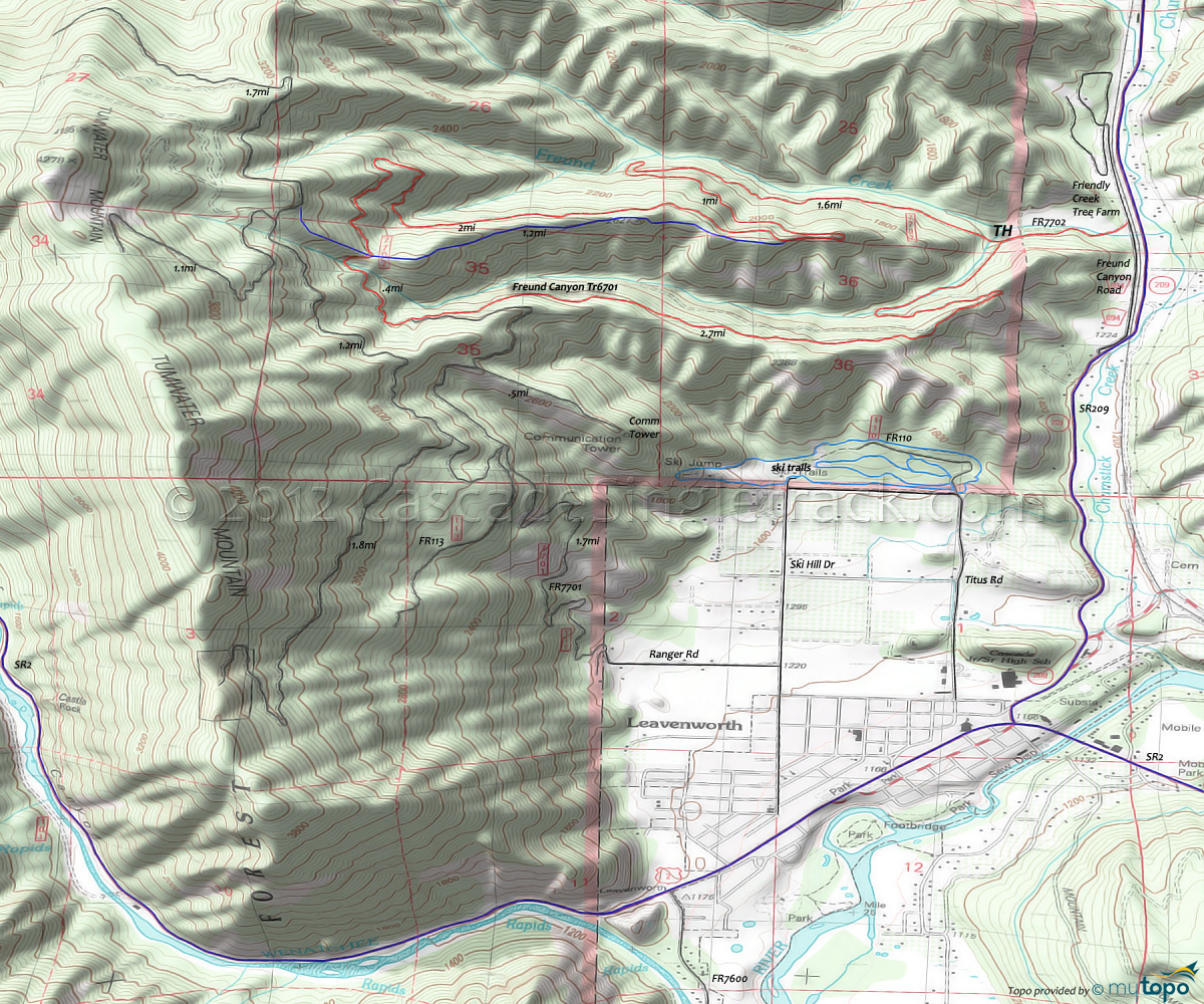
Freund Canyon Trail 6701 and Leavenworth Ski Trails Area Mountain Biking and Hiking Topo Map
TH: From the Friendly Creek Tree Farm gate, pass the return intersection at .4mi then ascend to the sharp, looping curve to the left at the 1.6mi log-staging area and climb the singletrack to the sloping ridgeline.
2.6mi: After reaching the lower end of the sloping ridgeline, pass a singletrack intersection on the left, an alternate downhill route. Complete the ascent then traverse the Tumwater Mountain hillside.
4.6mi: At the ride summit, pass the intersection for the previously mentioned ridgeline downhill, then cross one of the Freund Creek tributaries and begin the descent.
5mi: Pass the FR7701 intersection and continue the downhill, with many whooping berms along the way and a few sharp dips to navigate as well.
6.9mi: Turn sharply to the left as the trail drops off the sloping ridgeline and crosses the Freund Creek tributary then parallels the creek back to the TH.
Draggable map: Map window adjusts to screen size and will respond to touch control. Use scrollbar for mouse control.
No Map? Browser settings and some browser extensions can prevent the maps from appearing. Please see Site Tech


