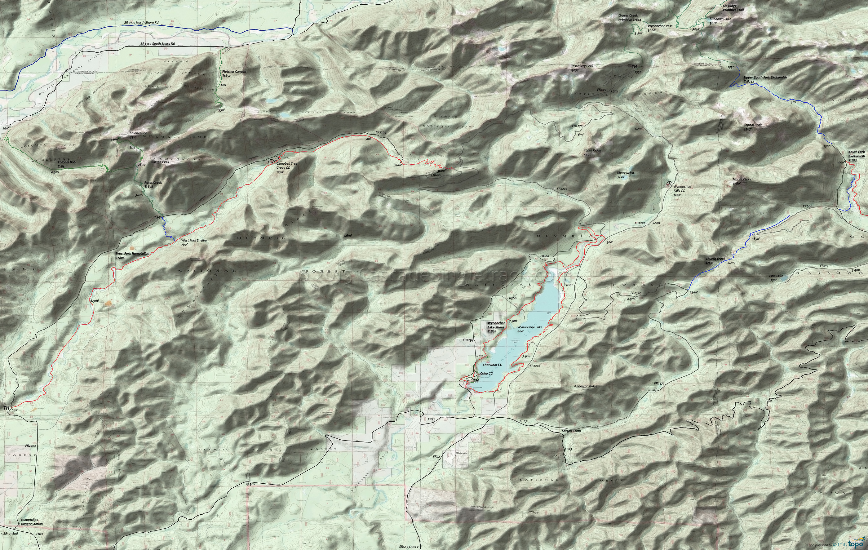
West Fork Humptulips Trail 806 and Wynoochee Lake Shore Trail 878 Area Mountain Biking and Hiking Topo Map
Map includes: Church Creek Trail 971, Colonel Bob Trail 851, Fletcher Canyon Trail 857, Graves Creek Primitive Trail, Pete's Creek Trail 858, Upper South Fork Skokomish Trail 973, West Fork Humptulips Trail 806, Wynoochee Lake Shore Trail 878 Mountain Biking and Hiking Trails.
TH: Ride north from the Coho campground, crossing FR240 at .5mi, near the Chetwoot campground. Cross Scatter Creek at 1mi and an unnamed creek at 1.9mi.
2.2mi: Merge with FR360 for .2mi then traverse the hillside in the first of four ascents. Cross a small creek at 3.3mi, descend to the lakeside, then ascend the hill for the Trout Creek crossing at 4.3mi.
4.8mi: Approach the Wynoochee River, with an option to cross it and head back to the TH. Go left and ride alongside the river, prior to climbing to the Eleanor Creek crossing at the 6.7mi ride summit.
7.2mi: Cross the Wynoochee River on FR2270, then rejoin the trail and descend gentle terrain alongside the river, crossing FR181 at 9.4mi.
11.7mi: After crossing several creeks and riding at the shoreline, cross FR140. Ascend a cove and cross Sixteen Creek at 12.5mi. Approach FR100 at 13.7mi.
14.2mi: Pass a campground then cross Wynoochee Dam and return to the TH.
Draggable map: Map window adjusts to screen size and will respond to touch control. Use scrollbar for mouse control.
No Map? Browser settings and some browser extensions can prevent the maps from appearing. Please see Site Tech


