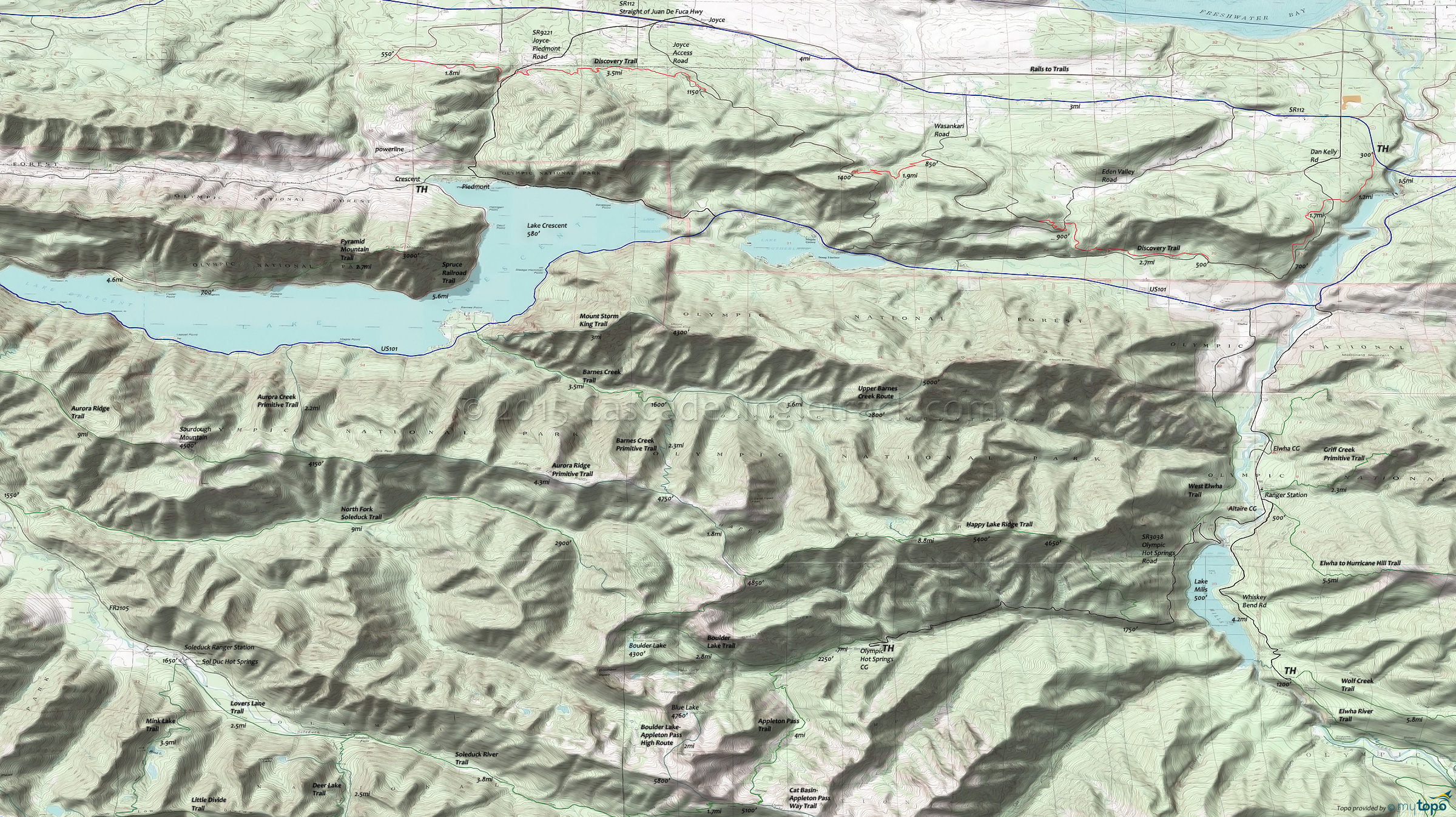
Olympic Discovery Trail and Soleduck River Trail Area Mountain Biking and Hiking Topo Map
Olympic National Park Hiking
The National Park includes most of the National Forest, with some wilderness areas at the periphery.
Always carry the 10 Essentials: map, compass, flashlight, knife, matches, nylon cord, extra food and water, and rain gear with warm clothes.
The ONP site offers current wilderness trail conditions and map.
For ONP camping permits, go to the Wilderness Information Center (WIC) in Port Angeles, which is shown on the Area Map. No reservations necessary.
Map includes: Aurora Ridge Trail, Barnes Creek Trail, Happy Lake Ridge Trail, High Divide Trail, Mink Lake Trail, Mount Storm King Trail, Olympic Discovery Mountain Biking Trail, Soleduck River Trail, Spruce Railroad Rail to Trail and Hiking Trails.
TH: Ride south on Discovery from the SR112 TH, crossing the powerline right of way and traversing the moderate Lake Aldwell hillside ascent. Cross the state FR at 1.3mi, followed by a creek crossing, leading to the ride summit at 2.2mi.
2.9mi: Cross a local road then go right onto the state fireroad and descend gradually.
4.2mi: Go right onto the singletrack and continue the hillside traverse. Pass an intersection on the left at 5.2mi, then ascend around an Indian Creek tributary, to Lake Eden Road. Return to the TH or ride to the western section.
Draggable map: Map window adjusts to screen size and will respond to touch control. Use scrollbar for mouse control.
No Map? Browser settings and some browser extensions can prevent the maps from appearing. Please see Site Tech


