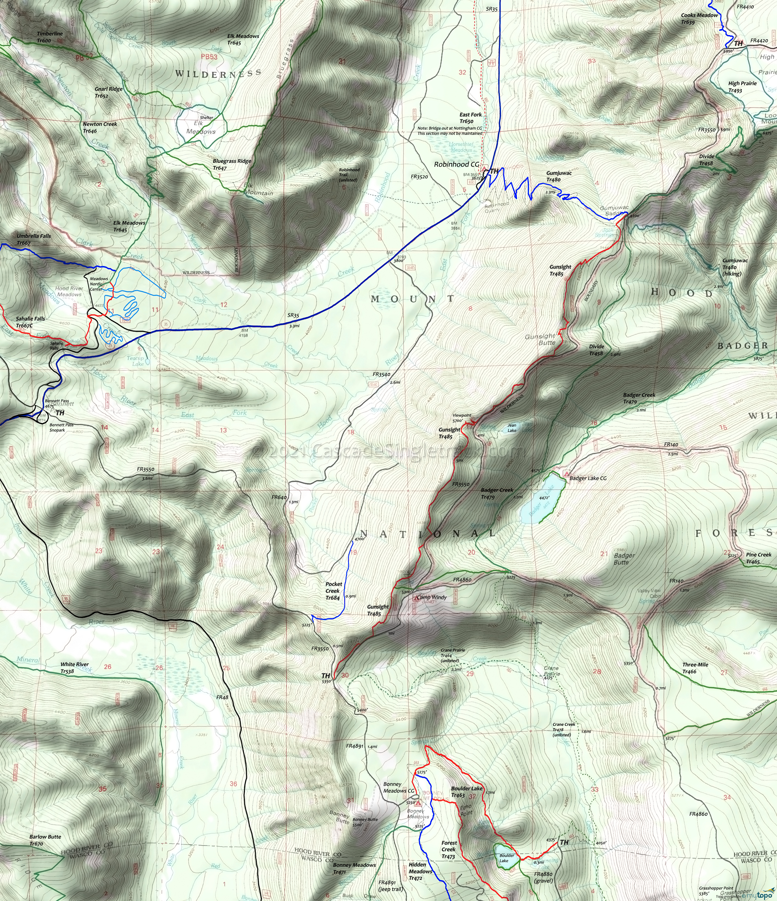
Gumjuwac and Gunsight Trail Area Mountain Biking and Hiking Topo Map
Twitter Search
#OregonTimberTrail
Oregon Timber Trail: Gunsight Ridge Tr485 is part of the Hood Tier route.
Map includes: Gumjuwac Trail 480, Gunsight Trail 485, Pocket Creek Trail 684 Mountain Bike and Hiking Trails
Gunsight to Gumjuwac CCW Loop
TH: Climb SR35S for 1.25mi, then ascend FR3540 (to 3.6mi then go left onto FR640) to Pocket Creek Tr684. Or climb SR35 for 4.6 miles to the Bennett Pass Sno-Park, then climb FR3550. FR3550 has several forks: Bear left, bear right, bear left and continue up the ridgeline.
Just prior to FR4891, go left onto Gunsight Tr485.
Trail parallels and briefly follows FR3550, then continues on for another 1.5mi to Gumjuwac Tr480.
Draggable map: Map window adjusts to screen size and will respond to touch control. Use scrollbar for mouse control.
No Map? Browser settings and some browser extensions can prevent the maps from appearing. Please see Site Tech


