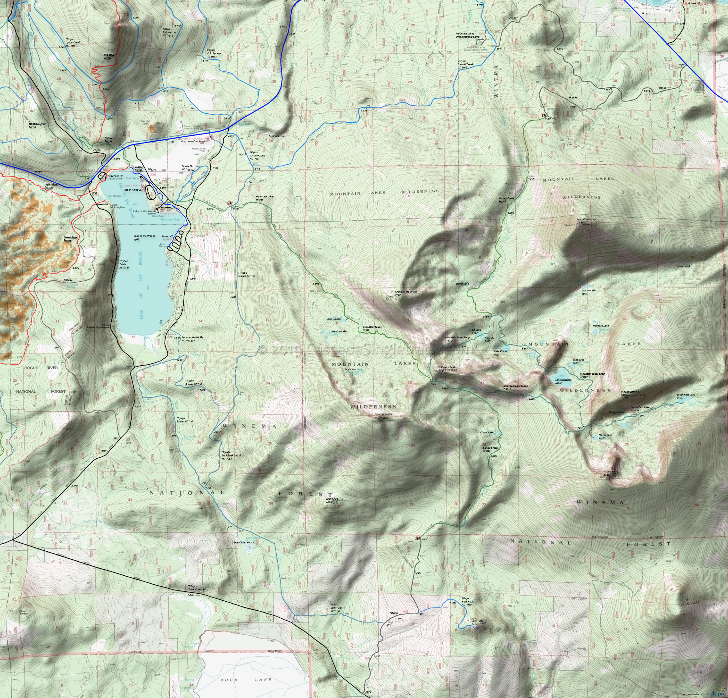
Mountain Lakes Wilderness Hiking Topo Map
Map includes: Clover Creek Trail 3722, Mountain Lakes Tr3721, Mountain Lakes Loop Trail 3727, South Pass Lake Trail 3720, Varney Creek Trail 3718 Hiking Trails.
Mountain Lakes Wilderness contains a cluster of four shield volcanoes, the highest of which is 8208' Aspen Butte. Formed several million years ago, covering 85 square miles and towering over 12000' prior to its collapse, the peak was one of the giants of the southern Cascades.
Several dozen small lakes lie at the base of several large large cirques carved by Ice Age glaciers.
Mosquitoes are ferocious in this area until August. Feel free to try the natural repellents, and avoid drinking carbonated drinks prior to riding, but Deet 100 may be the only protection from 'the swarm'. Expect some trailside poison oak and prepare as needed. Try using Tecnu before the ride.
Draggable map: Map window adjusts to screen size and will respond to touch control. Use scrollbar for mouse control.
No Map? Browser settings and some browser extensions can prevent the maps from appearing. Please see Site Tech


