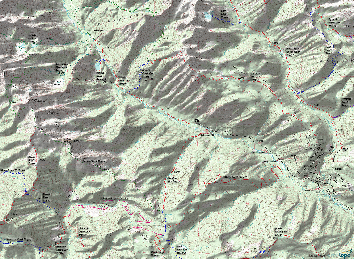
Entiat River Trail 1400 and Three Creeks Trail 1428 Area Mountain Biking and Hiking Topo Map
Map includes: Anthem Creek Trail 1435, Cow Creek Meadows Trail 1404, Duncan Hill Trail 1434, Entiat River Trail 1400, Garland Peak Trail 1408, Larch Lakes Trail 1430, Myrtle Lake Trail 1404A, Shetipo Trail 1429, Three Creeks Trail 1428 Mountain Biking and Hiking Trails.
TH: Easy climb from the TH, passing Anthem Creek Tr1435 at 2.2mi and reaching Meadow Tr1404 at 3.6mi.
3.7mi: At Meadow Tr1404, ride out to Myrtle Lake and/or ride .8mi further to the wilderness boundary, then return to the TH.
Draggable map: Map window adjusts to screen size and will respond to touch control. Use scrollbar for mouse control.
No Map? Browser settings and some browser extensions can prevent the maps from appearing. Please see Site Tech


