Twitter Search
#PacificCrestTrail
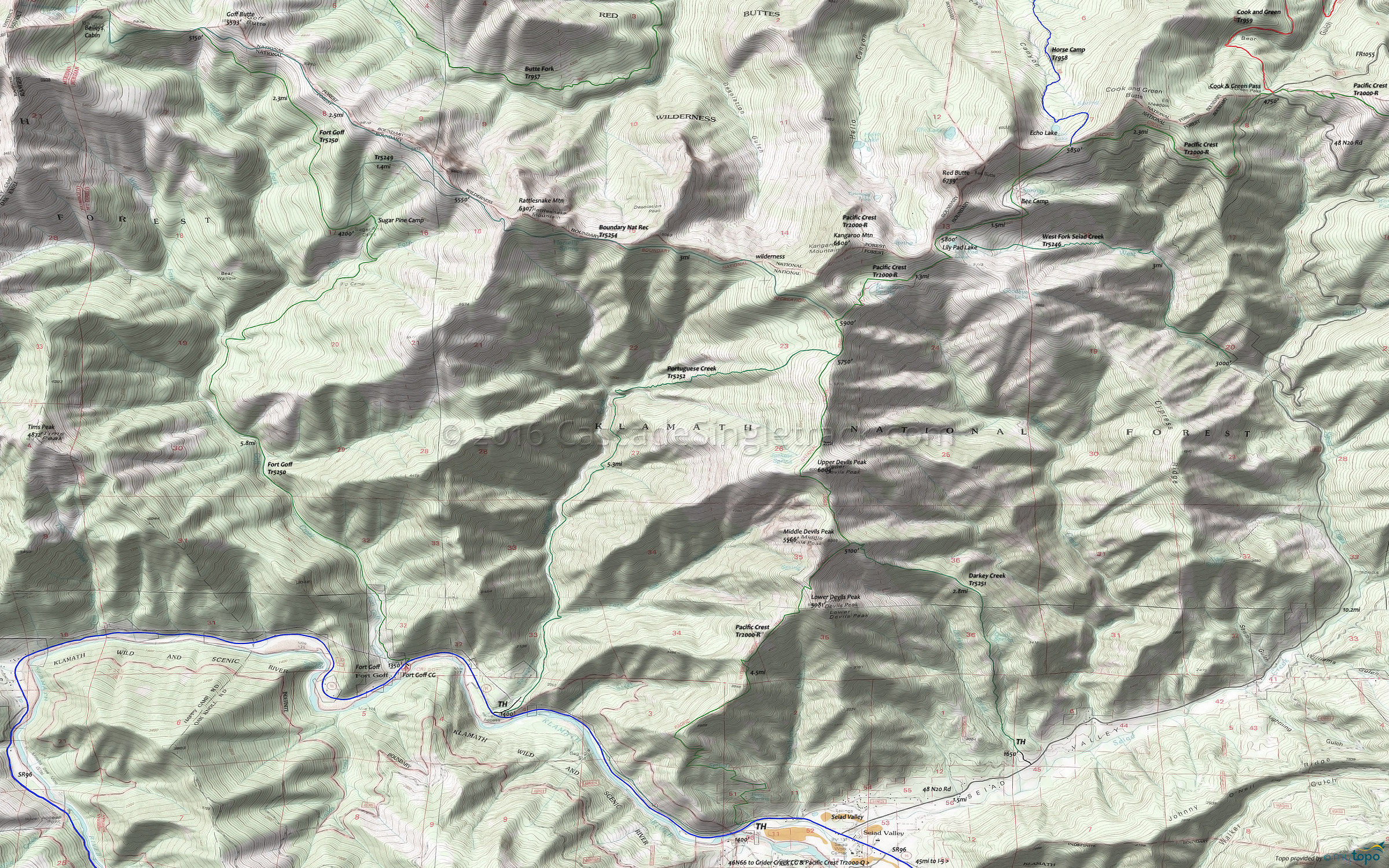
Pacific Crest Trail Section R, Fort Goff Trail Mountain Biking and Hiking Topo Map
Map includes: Boundary Nat Rec Trail 5254, Darkey Creek Trail 5251, Fort Goff Trail 5250, Middle Fork National Recreation Trail 950, Pacific Crest Trail 2000-R, Portuguese Creek Trail 5252, West Fork Seiad Creek Trail 5246 Hiking Trails.
The Red Buttes Wilderness area straddles the crest of the Siskiyou Mountains, with twin summits of Red Buttes anchoring the California border.
Reddish peridotite rock supports unusual plant habitat. Rocky buttes, forested ridges, and small glacial-carved lake basins characterize this rugged terrain, with a dense jumble of manzanita, snowbrush, and other brushy plants carpeting the dry south-facing slopes.
Summers are typically dry, from July to September, so carry water.
Draggable map: Map window adjusts to screen size and will respond to touch control. Use scrollbar for mouse control.
No Map? Browser settings and some browser extensions can prevent the maps from appearing. Please see Site Tech


