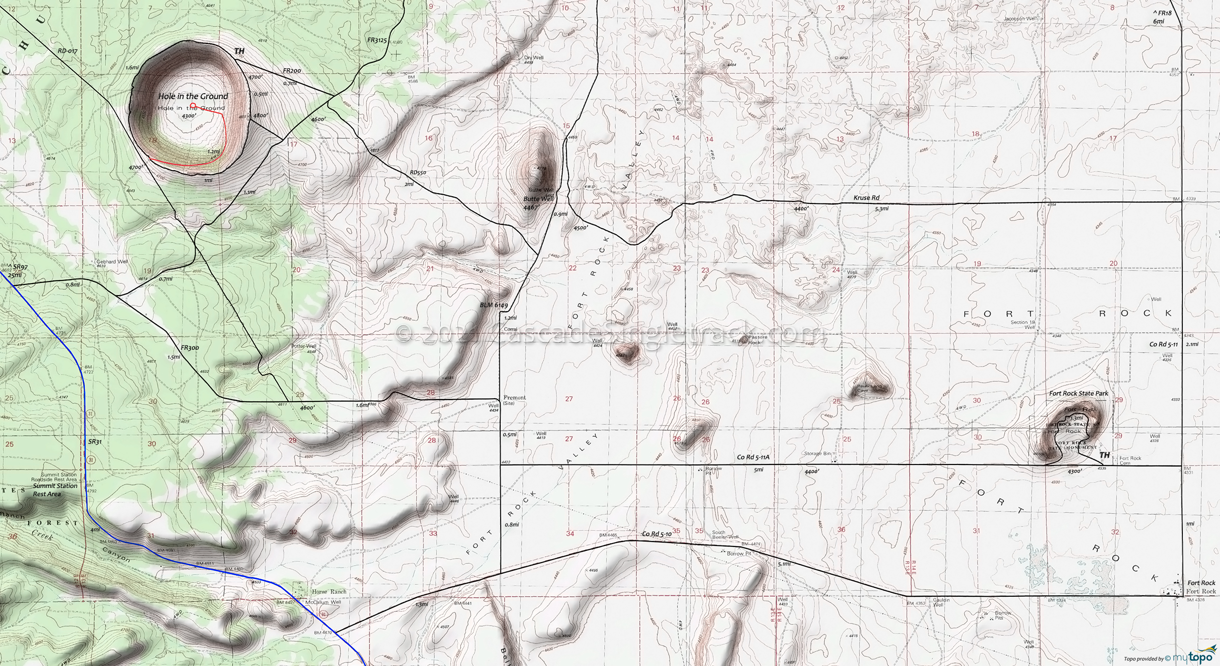
Fort Rock State Park to Hole in the Ground Trail Mountain Biking and Hiking Topo Map
TH: Ride around Fort Rock State Park, then head east on Co Rd 5-11A to Co Rd 5-11 at 2mi. Go left and ride to Kruse Rd at 4.1mi. Go left and ride to Butte Well at 9.1mi and cross over to BLM6149, then go left to RD 550.
9.7mi: Ascend RD550 to the crater, using RD500 or FR200, reaching the ride summit at 12.5mi. Ride around the crater and down to the bottom.
16.9mi: Climb out of the crater, then go left on RD 017 and descend to FR300 at 19.3mi. Go left at the fork and ride east to BLM6149. Dogleg to the right, then go left onto Co Rd 5-11A and head back to the TH.
Draggable map: Map window adjusts to screen size and will respond to touch control. Use scrollbar for mouse control.
No Map? Browser settings and some browser extensions can prevent the maps from appearing. Please see Site Tech


