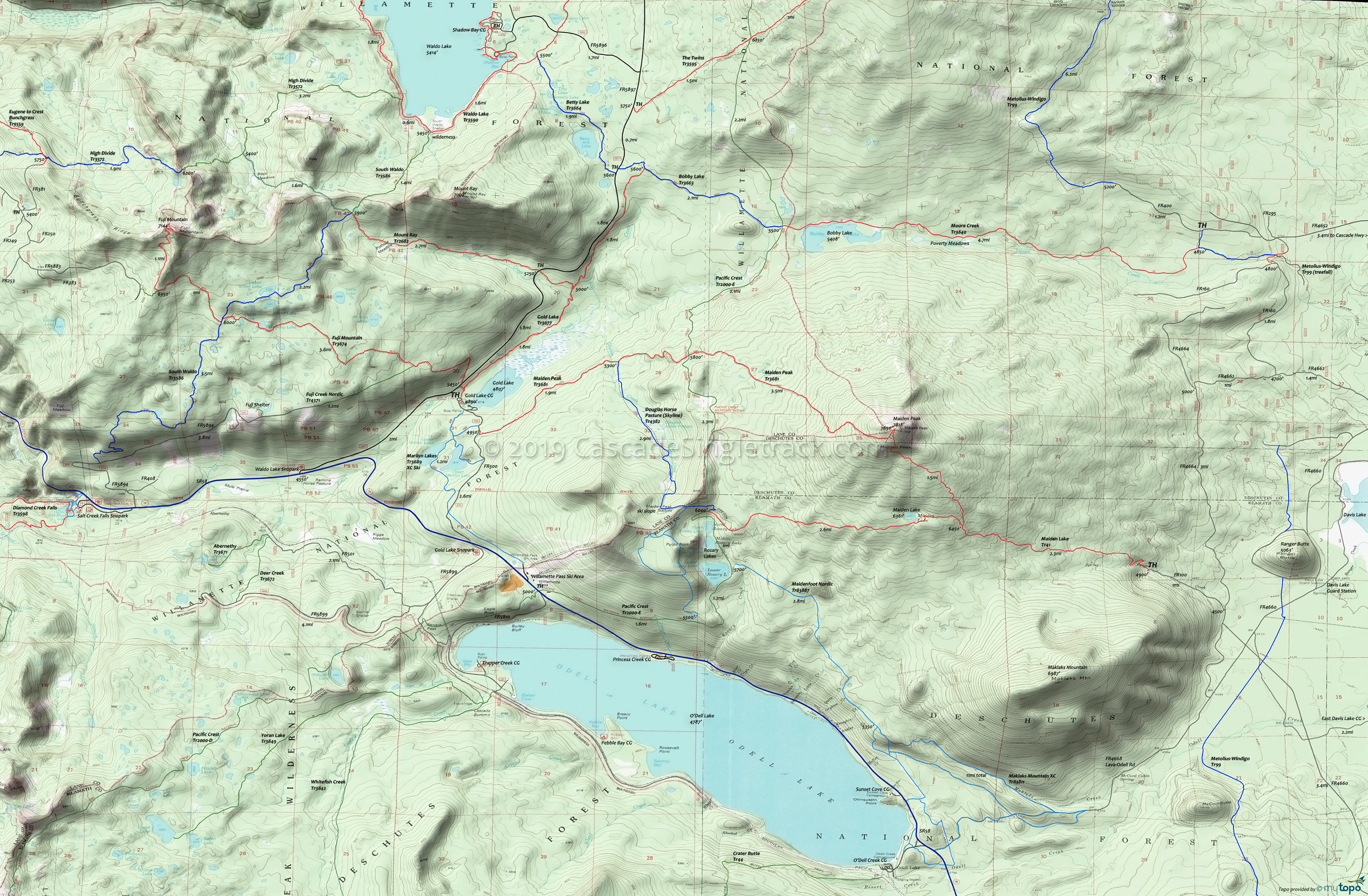
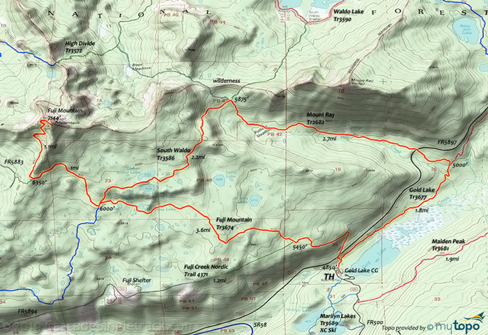
Fuji Mountain and Mount Ray Trail Area Mountain Biking and Hiking Topo Map
Twitter Search
#PacificCrestTrail
#OregonTimberTrail
Map includes: Douglas Horse Pasture Trail 4382, Fuji Mountain Trail 3674, Gold Lake Trail 3677, Maiden Lake Trail 41, Maiden Peak Trail 3681, Metolius-Windigo Trail 99, Moore Creek Trail 3840, Mount Ray Trail 2682 and South Waldo Lake Trail 3586 Mountain Biking and Hiking Trails.
Oregon Timber Trail: Waldo Lake Trail 3590, Betty Lake Trail 3664, Charlton Lake Tr3593, Fuji Mountain Tr3674 and Gold Lake Tr3677 are part of the Willamette Tier route.
Fuji-Ray Loop
TH: From the Gold Lake campground or the Fuji Mt TH, ascend steeply for 1.7mi, then more gradually, passing Birthday Lake, Verde Lake and some smaller lakes, to the 3.8mi South Waldo Tr3586 intersection. The summit ascent starts with a climb to the base, then a steep, 1mi (16%) switchback ascent to the peak.
6mi: Descend from the summit, then go left onto South Waldo Tr3586 at 8.2mi. Traversing relatively flat, benched terrain, pass Upper and Lower Island Lake, then descend to Mt. Ray Tr2682.
10.4mi: Go right onto Mt. Ray Tr2682 and continue the descent, past Pothole Meadow then riding alongside Ray Creek. Cross FR5897 at 12.6mi, with a final descent to Gold Lake Tr3677.
13.1mi: Go right onto Gold Lake Tr3677 and gradually descend alongside Gold Lake Bog, then Gold Lake, to the TH.
Draggable map: Map window adjusts to screen size and will respond to touch control. Use scrollbar for mouse control.
No Map? Browser settings and some browser extensions can prevent the maps from appearing. Please see Site Tech


