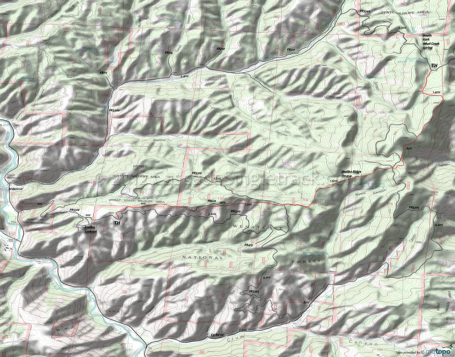
Steliko Ridge Trail 1454 Area Mountain Biking and Hiking Topo Map
TH: From the FR5310 TH, ascend 600' over the first mile to reach the ridgeline, then ride alongside FR610 for another mile.
2.2mi: Cross FR5310 and ride .2mi on FR510, then bear left onto the trail. After riding through several saddles, climb to the next ridgeline at 2.9mi, cresting the top of a knoll at 3.5mi.
3.7mi: Cross FR5305 and bear right, with an unmarked doubletrack to the left. Ride alongside some Byrd Canyon cliff exposure then pass the doubletrack intersection at 4.5mi.
5.1mi: Turnaround at the ridgeline summit, or continue .7mi to FR5340, in a steep 460' descent.
Draggable map: Map window adjusts to screen size and will respond to touch control. Use scrollbar for mouse control.
No Map? Browser settings and some browser extensions can prevent the maps from appearing. Please see Site Tech


