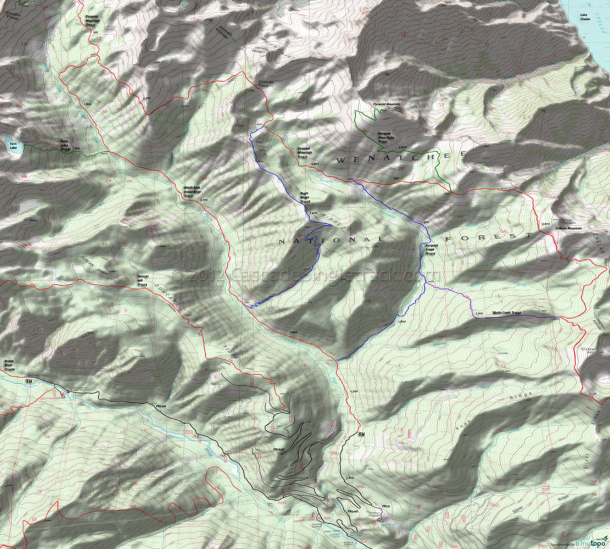
North Fork Entiat River Trail 1437 and Pugh Ridge Trail 1438 Area Mountain Biking and Hiking Topo Map
Map includes: Butte Creek Trail 1440, Fern Lake Trail 1436, North Fork Entiat River Trail 1437, Pugh Ridge Trail 1438, Pyramid Creek Trail 1439, Pyramid Mountain Trail 1433, Pyramid View Point Trail 1441 Mountain Biking and Hiking Trails.
TH: Cross Grouse Creek, followed by 1mi of flat terrain, then a brief climb to the Pyramid Cr Tr1439 intersection at 1.2mi, just past the Pyramid Creek crossing. Cross another creek at 1.5mi, with the terrain becoming more rugged.
2.6mi: After crossing another creek, pass the Pugh Rdg Tr1438 intersection on the right. The ascent gets a little steeper, up to 4.5mi, then flattens out until just past the Grouse Creek crossing at 5mi.
5.7mi: After a steep climb from the Grouse Creek drainage, reach the Fern Lake Tr1436 intersection on the left. This is a good turnaround point, but the trail continues another mile before starting the Pyramid Mountain Tr1433 ascent. Hiking to Fern Lake is another option, then head back to the TH.
Draggable map: Map window adjusts to screen size and will respond to touch control. Use scrollbar for mouse control.
No Map? Browser settings and some browser extensions can prevent the maps from appearing. Please see Site Tech


