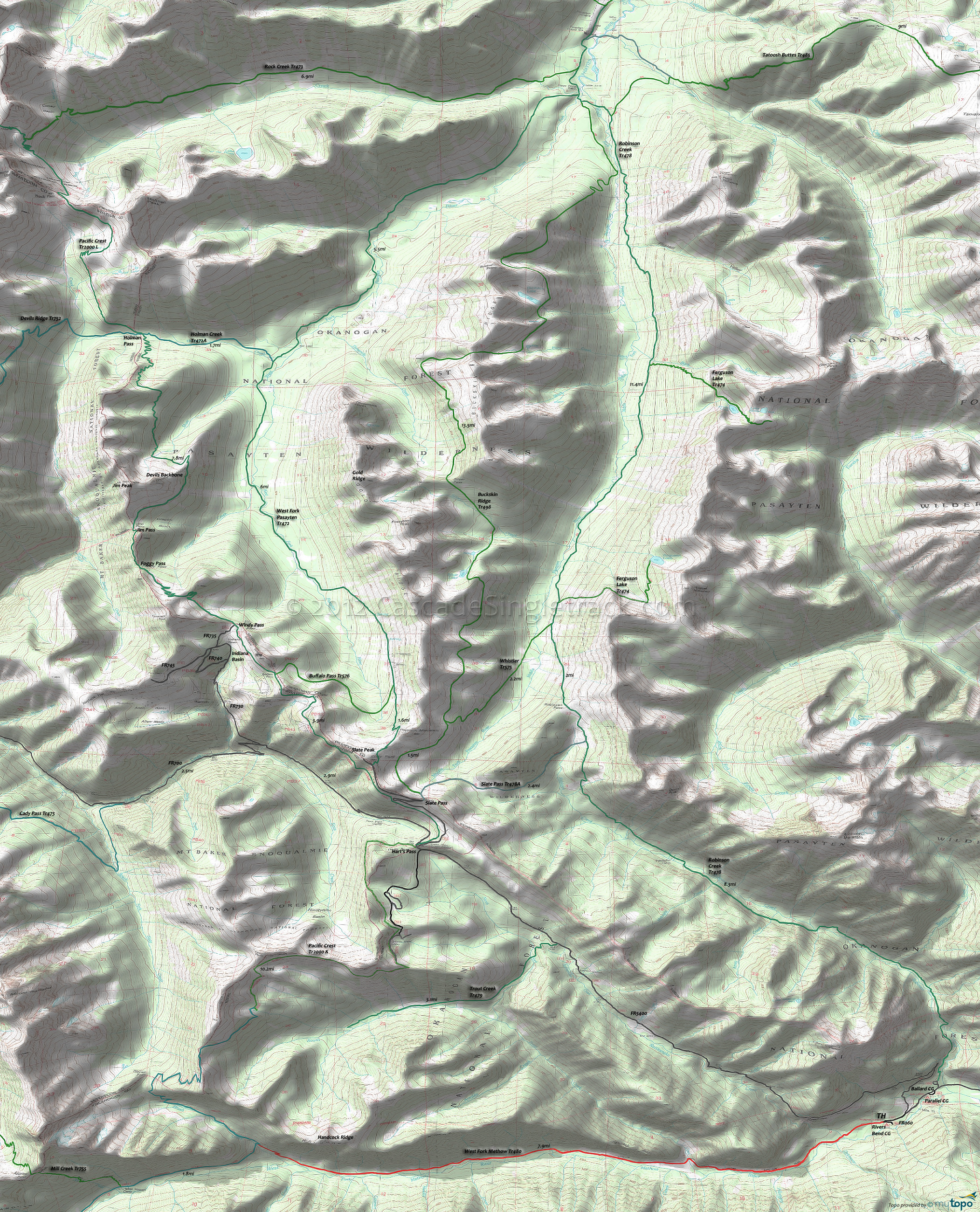
Pacific Crest Trail, West Fork Pasayten Trail and West Fork Methow River Trail Area Mountain Biking and Hiking Topo Map
Twitter Search
#PacificCrestTrail
Map includes: Buckskin Ridge Trail 498, Buffalo Pass Trail 576, Holman Creek Trail 472A, Pacific Crest Trail 2000-K, Robinson Creek Trail 478, Rock Creek Trail 473, Slate Pass Trail 478A, Trout Creek Trail 479, West Fork Pasayten Trail 472, West Fork Methow River Trail 480 and Whistler Trail 575 Mountain Biking and Hiking Trails.
TH: From the FR060 TH, cross Rattlesnake Creek at .6mi, cross several smaller creeks while ascending the gradual incline, then cross Trout Creek at 2.7mi. Cross 8 more creeks before reaching the Pacific Crest Tr2000 at 7.9mi.
7.2mi: Consider turning around prior to the final Brush Creek ascent to Pacific Crest Tr2000, or power up the steep drainage before turning back to the TH.
Draggable map: Map window adjusts to screen size and will respond to touch control. Use scrollbar for mouse control.
No Map? Browser settings and some browser extensions can prevent the maps from appearing. Please see Site Tech


