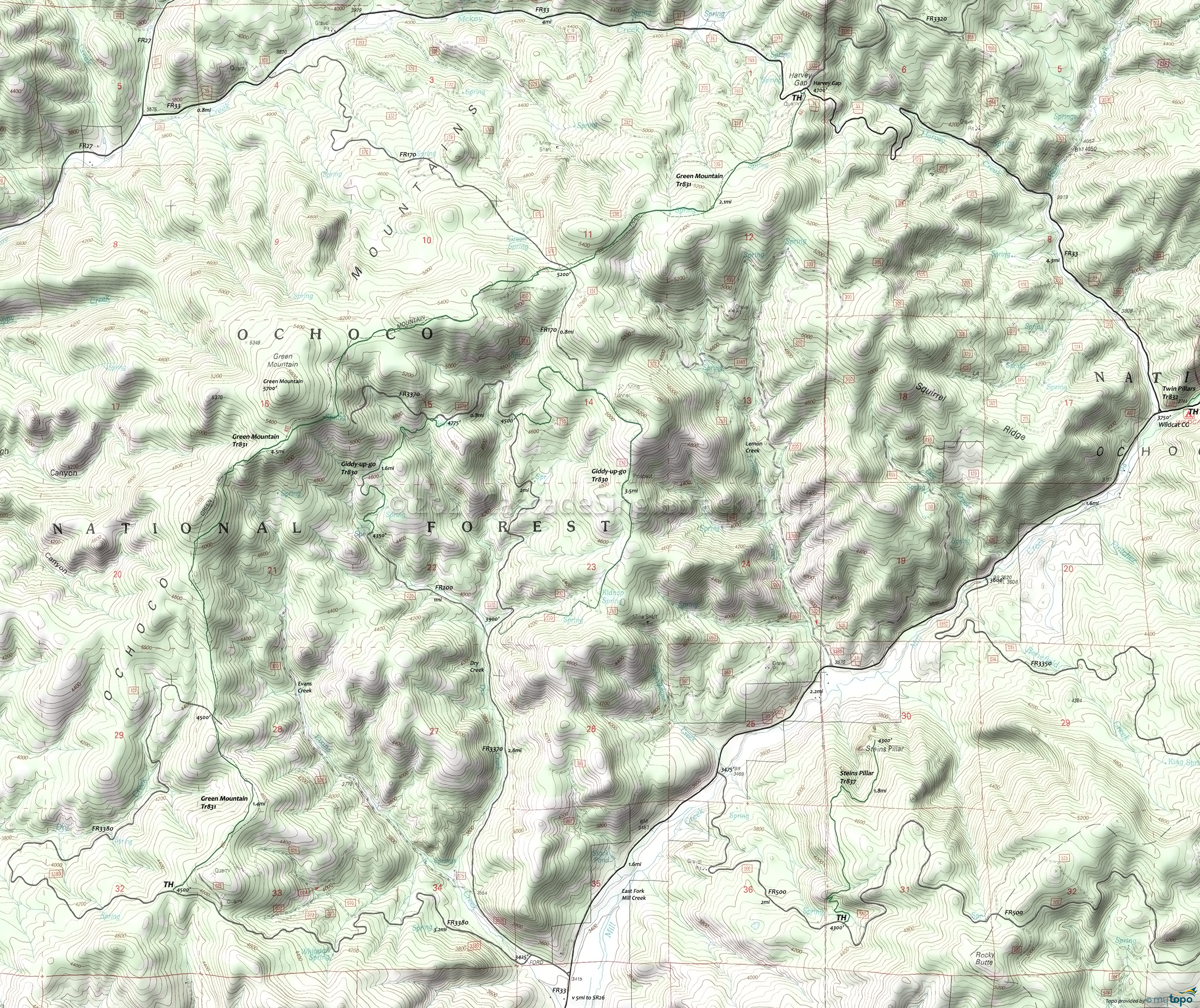
Green Mountain Trail Mountain Biking and Hiking Topo Map
Map includes: Giddy-up-Go, Green Mountain, Steins Pillar Mountain Bike and Hiking Trails.
The Green Mountain area is used for grazing (there may be cows), so please leave all gates as they are found. Green Mountain Tr831 is multiuse, so please share the trail. Trail conditions may not be suitable for biking when wet or if used extensively by ORV.
The southern Green Mountain TH is at FR3380, a 3.2mi rough secondary gravel road. The total elevation gain on the 8mi trail is about 1700', so stronger riders might consider an OAB starting from FR3380.
Technically challenging and sometimes steep sections intermix with rolling terrain through juniper and pine forests.
Steins Pillar Tr837 wanders through meadows and old growth forest to a 400' volcanic plug (outcrop), offering views of Mill Creek valley.
Giddy-Up-Go Tr830 is an equestrian loop around the Dry Creek drainage, consisting of a mix of doubletrack and singletrack.
The area trails are open to equestrians, so please be sure to yield and not startle the horses.
Draggable map: Map window adjusts to screen size and will respond to touch control. Use scrollbar for mouse control.
No Map? Browser settings and some browser extensions can prevent the maps from appearing. Please see Site Tech


