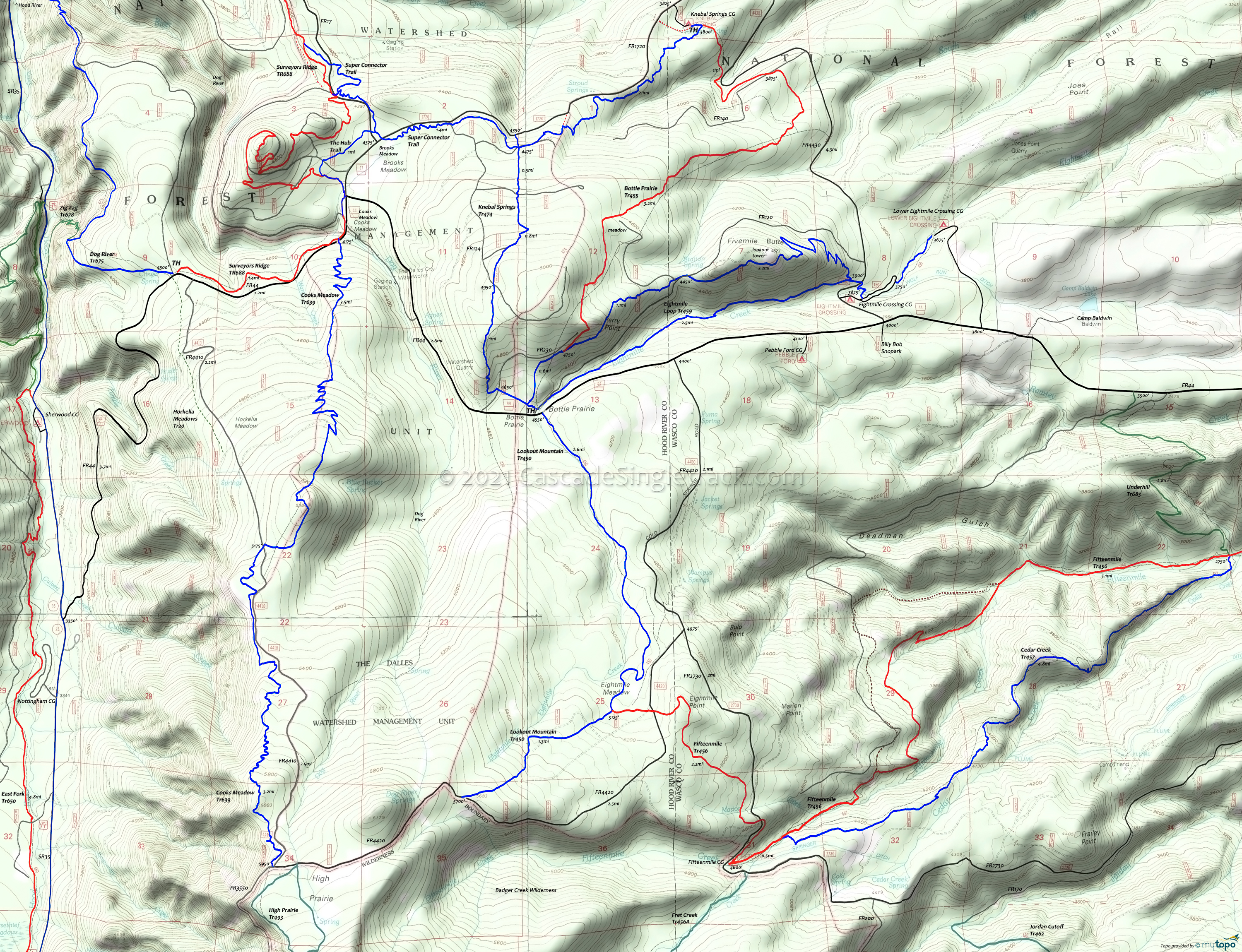
High Prairie Area Mountain Biking and Hiking Topo Map
Twitter Search
#OregonTimberTrail
Map includes: Bottle Prairie Trail 455, Cooks Meadow Trail 639, Eightmile Creek Trail 459, Horkelia Meadows Trail 20, Knebal Springs Trail 474 and Lookout Mountain Trail 450 Mountain Biking and Hiking Trails.
Oregon Timber Trail: Knebal Springs Trail 474 and Lookout Mountain Trail 450 are part of the Hood Tier route.
High Prairie CW Loop
TH: From the Surveyors Ridge TH, ride 1.4mi to the Cooks Meadow Tr639, go left on FR44 to the Bottle Prairie TH.
4mi: Ascend Lookout Mountain Tr450 to FR4420, then continue to the upper Cooks Meadow Tr639 TH.
9.3mi: Descend through a series of switchbacks to FR44, then go left onto Surveyors Ridge Tr688 to the TH.
Draggable map: Map window adjusts to screen size and will respond to touch control. Use scrollbar for mouse control.
No Map? Browser settings and some browser extensions can prevent the maps from appearing. Please see Site Tech


