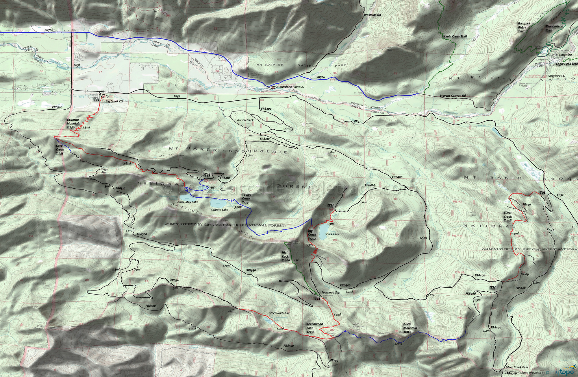
Allen Mountain Trail 269 and Greenwood Lake Trail 253 Area Mountain Biking and Hiking Topo Map
Map includes: Allen Mountain Trail 269, Big Creek Trail 252, Cave Creek Trail 255, Greenwood Lake Trail 253, High Rock Trail 266, Osborne Mountain Trail 250, Silver Creek Trail 258 and Teeley Creek Trail 251 Mountain Biking and Hiking Trails.
TH: The steady climb starts right away, winding up the hillside to FR8400.
3.4mi: Go left on FR8400, .3mi to FR8460, then go right and climb 1.6mi to the Allen Mt Tr269 TH.
5.2mi: Ride the ridgeline then ascend to Allen Mountain summit.
8mi: Go left at the Greenwood Lk Tr253 intersection near Cougar Gap and ride out to Greenwood Lake and ~.5mi beyond. Turn around at the 9.8mi mark and head back to the TH.
Draggable map: Map window adjusts to screen size and will respond to touch control. Use scrollbar for mouse control.
No Map? Browser settings and some browser extensions can prevent the maps from appearing. Please see Site Tech


